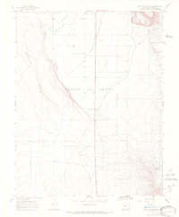
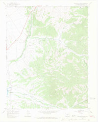
1967 Map of Fort Garland SW
USGS Topo · Published 1970About this map
The Sangre De Cristo Grant dominates this high-altitude landscape in Costilla County, where water management is the primary shaper of the terrain. The presence of the Sangre De Cristo Ditch, Trinchera Canal, and Highline Canal reveals an era focused on directing mountain runoff for irrigation across the basin floor. This network of man-made waterways contrasts with the natural flow of Ojito Creek and the southern Willow Creek Reservoir, marking the transition from the rugged Basaltic Hills to the agricultural flats. Remote aviation infrastructure, including the Escheman Landing Strips and additional Landing Strips, suggests the logistical challenges of accessing this high-desert environment in the late 1960s. A network of Jeep Trails provides the only passage through the steep contours of the southeastern corner, illustrating the limited ground transportation in this sparsely settled region.
Find a feature on this map
11 named features on this map. Tap any name to fly to it.
Don’t see what you’re looking for? This feature index may not catch every label — zoom into the map to look around manually.
Map Details
Editions of this 1967 Fort Garland SW Map
5 editions found
Other maps of this area

1954 · Trinidad
USGS Topo · 1:250,000

1955 · Trinidad
USGS Topo · 1:250,000

1958 · Trinidad
USGS Topo · 1:250,000

1959 · Trinidad
USGS Topo · 1:250,000

1965 · Blanca
USGS Topo · 1:24,000

1965 · Blanca SE
USGS Topo · 1:24,000

1967 · San Luis
USGS Topo · 1:24,000

1967 · Fort Garland SW
USGS Topo · 1:24,000

1967 · Ojito Peak
USGS Topo · 1:24,000
1967 · Trinchera Ranch
USGS Topo · 1:24,000