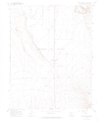
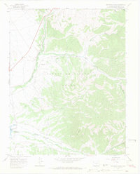
1967 Map of Fort Garland SW
USGS Topo · Published 1974About this map
The Sangre De Cristo Grant dominates this 1967 terrain, illustrating the agricultural and aviation development of the San Luis Valley. This landscape is defined by an extensive irrigation network essential for high-desert farming, including the Sangre De Cristo Ditch, Highline Canal, and Trinchera Canal. These waterways underscore the coordinated effort required to manage water rights in Costilla County. In the eastern sector, the Willow Creek Reservoir sits at the foot of more dramatic relief, while the western side is marked by the Basaltic Hills. Local transportation and private aviation are represented by named rural routes like Smith Lane and specialized infrastructure such as the Escheman Landing Strips, reflecting a mid-century period when small-scale air travel and ranching were integrated into the rural Colorado experience.
Find a feature on this map
12 named features on this map. Tap any name to fly to it.
Don’t see what you’re looking for? This feature index may not catch every label — zoom into the map to look around manually.
Map Details
Editions of this 1967 Fort Garland SW Map
5 editions found
Other maps of this area

1954 · Trinidad
USGS Topo · 1:250,000

1955 · Trinidad
USGS Topo · 1:250,000

1958 · Trinidad
USGS Topo · 1:250,000

1959 · Trinidad
USGS Topo · 1:250,000

1965 · Blanca
USGS Topo · 1:24,000

1965 · Blanca SE
USGS Topo · 1:24,000

1967 · San Luis
USGS Topo · 1:24,000

1967 · Fort Garland SW
USGS Topo · 1:24,000

1967 · Ojito Peak
USGS Topo · 1:24,000
1967 · Trinchera Ranch
USGS Topo · 1:24,000