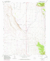
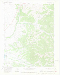
1967 Map of Fort Garland SW
USGS Topo · Published 1982About this map
The Sangre De Cristo Grant boundary dominates this high-altitude landscape of Costilla County, reflecting the complex land ownership patterns rooted in Spanish and Mexican land grants. The terrain transition is sharp, defined by the prominent Basaltic Hills to the west and the rising slopes toward the mountains in the east. Water management is the primary human footprint on this arid land, with a network of irrigation systems including the Trinchera Canal, Highline Canal, and the Sangre De Cristo Ditch moving water across the valley floor. In the southeastern corner, the Willow Creek Reservoir sits tucked against the foothills, while numerous wells are scattered throughout the center of the sheet, indicating the importance of groundwater for the region's agricultural viability.
Find a feature on this map
8 named features on this map. Tap any name to fly to it.
Don’t see what you’re looking for? This feature index may not catch every label — zoom into the map to look around manually.
Map Details
Editions of this 1967 Fort Garland SW Map
5 editions found
Other maps of this area

1954 · Trinidad
USGS Topo · 1:250,000

1955 · Trinidad
USGS Topo · 1:250,000

1958 · Trinidad
USGS Topo · 1:250,000

1959 · Trinidad
USGS Topo · 1:250,000

1965 · Blanca
USGS Topo · 1:24,000

1965 · Blanca SE
USGS Topo · 1:24,000

1967 · San Luis
USGS Topo · 1:24,000

1967 · Fort Garland SW
USGS Topo · 1:24,000

1967 · Ojito Peak
USGS Topo · 1:24,000
1967 · Trinchera Ranch
USGS Topo · 1:24,000