Loading...
Loading map...2022 Map of Fort Hancock
USGS Topo · Published 2022About this map
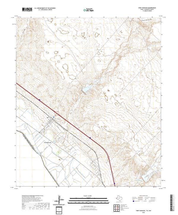
The Rio Grande serves as the international boundary on this modern survey of the far west Texas landscape, dividing the United States and Mexico. The settlement of Fort Hancock is defined by a grid of streets including Ross Ave, Knox Ave, and Apache Rd, situated between the river and the interstate. A complex network of irrigation and drainage features, such as the Davis Lateral, School Drain, and McNary Lateral, supports agricultural activity in the floodplain.
Find a feature on this map
32 named features on this map. Tap any name to fly to it.
Don’t see what you’re looking for? This feature index may not catch every label — zoom into the map to look around manually.
Map Details
Date Portrayed2022
Date Published2022
PublisherU.S. Geological Survey
Map TypeTopographic
Scale1:24000
Physical Dimensions24 x 29 inches
Editions of this 2022 Fort Hancock Map
This is the sole edition of this map. No revisions or reprints were ever made.
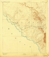
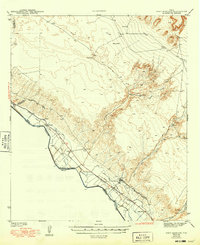
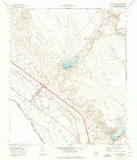
Historical Maps of Fort Hancock East Unit Number 2 Colonia Through Time
4 maps found
Featured Locations
- Hudspeth County, TX
- Villa Alegre Colonia, TX
- Fort Hancock, TX
- Fort Hancock East Unit Number 1 Colonia, TX
- Fort Hancock East Unit Number 2 Colonia, TX
Source Details
SourceU.S. Geological Survey
CopyrightPublic Domain