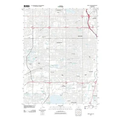
2011 Map of Fort Logan
USGS Topo · Published 2011About this map
Fort Logan National Cemetery occupies a central role in this landscape of southwestern Denver and Lakewood. The geography is defined by a dense network of water management features, including the Agricultural Ditch and Rocky Mountain Ditch, which reflect the region's long-standing irrigation requirements. These waterways cut through established residential areas such as Bear Valley, College View, and the Westside Neighborhood, while the South Platte River flows through the eastern edge near Englewood.
Find a feature on this map
89 named features on this map. Tap any name to fly to it.
Don’t see what you’re looking for? This feature index may not catch every label — zoom into the map to look around manually.
Map Details
Editions of this 2011 Fort Logan Map
This is the sole edition of this map. No revisions or reprints were ever made.
Other maps of this area

1890 · East Denver
USGS Topo · 1:125,000

1899 · West Denver
USGS Topo · 1:125,000

1935 · East Denver Nos. 3 and 4
USGS Topo · 1:48,000

1938 · Morrison
USGS Topo · 1:24,000

1938 · Derby
USGS Topo · 1:24,000

1939 · Golden
USGS Topo · 1:24,000

1940 · Englewood
USGS Topo · 1:31,680

1940 · Derby
USGS Topo · 1:31,680

1941 · Arvada
USGS Topo · 1:31,680

1941 · Fort Logan
USGS Topo · 1:31,680