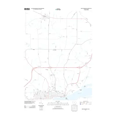
2013 Map of Fort Madison
USGS Topo · Published 2013About this map
The Mississippi River serves as the dominant southern boundary of this 2013 survey, where the Fort Madison Bridge connects the riverfront city to the opposite shore. The landscape north of the city transitions into an organized grid of county roads and agricultural lands, punctuated by the small settlements of Denmark and Sawyer. Drainage patterns across the county are defined by several winding waterways, including Red Keel Cr, Mud Cr, and Lost Cr, which carve through the plains toward the river.
Find a feature on this map
85 named features on this map. Tap any name to fly to it.
Don’t see what you’re looking for? This feature index may not catch every label — zoom into the map to look around manually.
Map Details
Editions of this 2013 Fort Madison Map
This is the sole edition of this map. No revisions or reprints were ever made.
Other maps of this area

1932 · Lomax
USGS Topo · 1:62,500

1934 · Burlington
USGS Topo · 1:48,000

1936 · Fort Madison
USGS Topo · 1:62,500

1937 · Lomax
USGS Topo · 1:62,500

1940 · Burlington
USGS Topo · 1:62,500

1958 · Burlington
USGS Topo · 1:250,000

1961 · Burlington
USGS Topo · 1:250,000

1963 · Burlington
USGS Topo · 1:250,000
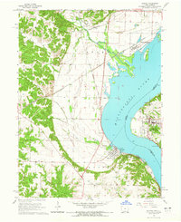
1964 · Nauvoo
USGS Topo · 1:24,000

1964 · West Point
USGS Topo · 1:24,000