2022 Map of Fort Madison
USGS Topo · Published 2022About this map
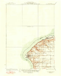
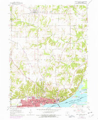
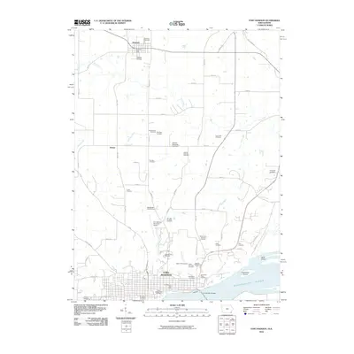
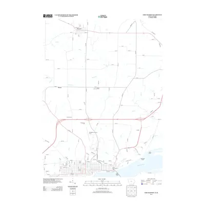
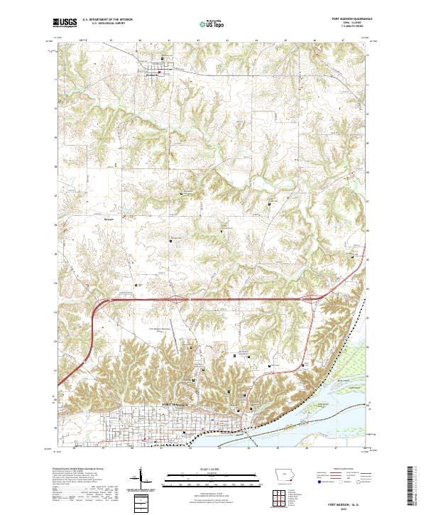
Fort Madison sits prominently along the bend of the Mississippi River in this detailed survey of Lee County. The city's northern and western expansion is evident, framing the sprawling Iowa State Penitentiary and the Lee County North Courthouse. To the west, the BNSF Railway tracks trace the riverbank, a reminder of the long-standing importance of rail transport to this river town. The landscape beyond the city limits transitions into a series of rolling drainages including Lost Creek and Red Keel Creek, which carve through the agricultural uplands toward the settlement of Denmark in the north.
Find a feature on this map
88 named features on this map. Tap any name to fly to it.
Don’t see what you’re looking for? This feature index may not catch every label — zoom into the map to look around manually.
Map Details
Editions of this 2022 Fort Madison Map
This is the sole edition of this map. No revisions or reprints were ever made.
Historical Maps of Fort Madison Through Time
7 maps found