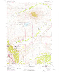
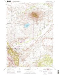
1953 Map of Fort Meade
USGS Topo · Published 1976About this map
The landmark igneous intrusion of Bear Butte dominates this landscape, rising above the surrounding plains northeast of the Fort Meade Military Reservation. The map captures a period of transition for Fort Meade, showing the facility's shift from its 19th-century cavalry origins toward its 20th-century role as a Veterans Hospital. The inclusion of the Bear Butte National Wildlife Refuge and Bear Butte Lake reflects the early 1970s emphasis on land conservation and recreation alongside the region's deep military roots.
Find a feature on this map
25 named features on this map. Tap any name to fly to it.
Don’t see what you’re looking for? This feature index may not catch every label — zoom into the map to look around manually.
Map Details
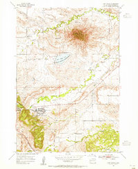
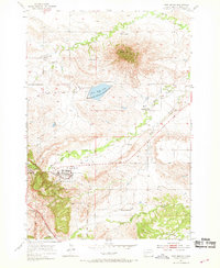
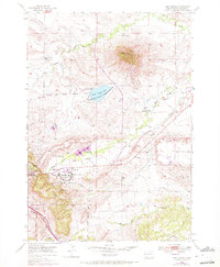
Editions of this 1953 Fort Meade Map
5 editions found
Other maps of this area

1893 · Rapid
USGS Topo · 1:125,000

1894 · Deadwood
USGS Topo · 1:125,000

1898 · Rapid
USGS Topo · 1:125,000

1899 · Sturgis
USGS Topo · 1:62,500

1901 · Deadwood
USGS Topo · 1:125,000

1903 · Rapid
USGS Topo · 1:125,000

1905 · Saint Onge
USGS Topo · 1:62,500

1906 · Vale
USGS Topo · 1:62,500

1907 · Belle Fourche
USGS Topo · 1:125,000

1913 · Newell
USGS Topo · 1:125,000