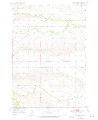
1953 Map of Fort Meade NE
USGS Topo · Published 1975About this map
Bear Butte Creek and Spring Creek carve through the landscape of Meade County, South Dakota, as documented in this early 1950s survey. The map reveals a rural settlement pattern defined by isolated schools and social landmarks, including Wilson Sch and Laurel Sch. A primary transportation corridor is established along Alkali Road, which tracks the course of Alkali Creek in the southern portion of the quadrangle. The presence of the Alkali Club House and several Gravel Pit sites suggests a community centered around local gathering points and small-scale resource extraction. This survey, based on 1952 aerial photography, provides a detailed look at the section lines and topography before more modern development patterns altered the plains.
Find a feature on this map
9 named features on this map. Tap any name to fly to it.
Don’t see what you’re looking for? This feature index may not catch every label — zoom into the map to look around manually.
Map Details
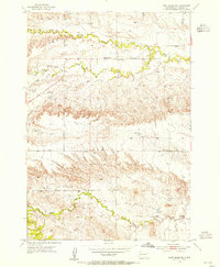
Editions of this 1953 Fort Meade NE Map
2 editions found
Other maps of this area

1893 · Rapid
USGS Topo · 1:125,000

1898 · Rapid
USGS Topo · 1:125,000

1903 · Rapid
USGS Topo · 1:125,000

1906 · Vale
USGS Topo · 1:62,500

1913 · Newell
USGS Topo · 1:125,000

1951 · Volunteer
USGS Topo · 1:24,000

1951 · Vale
USGS Topo · 1:24,000

1951 · Vale SE
USGS Topo · 1:24,000

1951 · Vale
USGS Topo · 1:62,500

1953 · Rapid City 1 SW
USGS Topo · 1:24,000