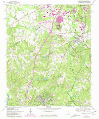
1968 Map of Fort Mill
USGS Topo · Published 1981About this map
Pineville and the southern edge of Charlotte define the North Carolina side of this borderland survey, while Fort Mill anchors the South Carolina terrain to the south. The landscape is a network of small creeks and branches, including Sugar Creek and Steele Creek, flowing toward the Catawba River. Notable for its commemorative geography, the map identifies the James K. Polk Birthplace and several historic congregations such as McClintock Ch and China Grove Ch.
Find a feature on this map
67 named features on this map. Tap any name to fly to it.
Don’t see what you’re looking for? This feature index may not catch every label — zoom into the map to look around manually.
Map Details
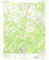
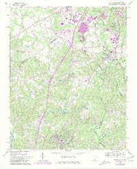
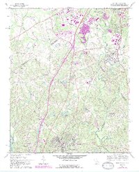
Editions of this 1968 Fort Mill Map
4 editions found
Other maps of this area

1905 · Charlotte
USGS Topo · 1:48,000

1907 · Charlotte
USGS Topo · 1:62,500

1941 · Charlotte
USGS Topo · 1:125,000

1941 · Spartanburg
USGS Topo · 1:250,000

1942 · Charlotte
USGS Topo · 1:125,000

1947 · Clover
USGS Topo · 1:62,500

1948 · Charlotte East
USGS Topo · 1:24,000

1948 · Charlotte West
USGS Topo · 1:24,000

1949 · Clover
USGS Topo · 1:62,500

1949 · Charlotte West
USGS Topo · 1:24,000