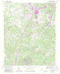
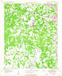
1968 Map of Fort Mill
USGS Topo · Published 1981About this map
The James K. Polk Birthplace south of Pineville serves as a cultural anchor in this border region during a period of transition. The 1968 landscape is defined by the intersection of the Southern railroad and the Catawba River, with interstate-era revisions highlighting the rapid growth of the Charlotte-area suburbs. Local heritage is visible in the numerous country churches such as Philadelphia Ch and McClintock Ch, alongside historic water crossings like Nations Ford. To the south, Fort Mill anchors the South Carolina side of the boundary, surrounded by a chain of recreational and industrial water bodies including Lake Haigler and Lake Patricia. The map documents the shifting land use from rural piedmont to suburban development, evidenced by the large Amusement Park and new residential patterns emerging along the Mecklenburg and York County line.
Find a feature on this map
61 named features on this map. Tap any name to fly to it.
Don’t see what you’re looking for? This feature index may not catch every label — zoom into the map to look around manually.
Map Details
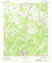
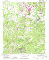
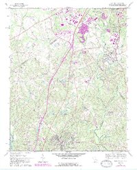
Editions of this 1968 Fort Mill Map
4 editions found
Other maps of this area

1905 · Charlotte
USGS Topo · 1:48,000

1907 · Charlotte
USGS Topo · 1:62,500

1941 · Charlotte
USGS Topo · 1:125,000

1941 · Spartanburg
USGS Topo · 1:250,000

1942 · Charlotte
USGS Topo · 1:125,000

1947 · Clover
USGS Topo · 1:62,500

1948 · Charlotte East
USGS Topo · 1:24,000
1948 · Charlotte West
USGS Topo · 1:24,000

1949 · Clover
USGS Topo · 1:62,500
1949 · Charlotte West
USGS Topo · 1:24,000