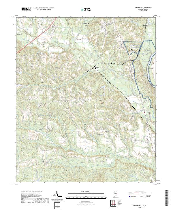
2024 Map of Fort Mitchell
USGS Topo · Published 2024About this map
Fort Mitchell and the surrounding borderlands of Russell Co reflect a landscape shaped by military history and the winding course of Uchee Creek. This modern survey documents the significant grounds of the Fort Mitchell National Cemetery and the adjacent Fort Benning military reservation, highlighting the area's continued strategic and commemorative importance. The terrain is marked by a network of rural settlements including Lato, Nuckols, and Oswichee, which are connected by a dense grid of county roads and named paths like Indian Trl. Waterways such as Little Uchee Creek, Broken Arrow Creek, and Sweetwater Branch carve through the topography, while local history is preserved at Saint John Cem and the Oswichee Cem. To the north, the southern reaches of Phenix City provide a glimpse into the expanding residential footprint near the state line.
Find a feature on this map
107 named features on this map. Tap any name to fly to it.
Don’t see what you’re looking for? This feature index may not catch every label — zoom into the map to look around manually.
Map Details
Editions of this 2024 Fort Mitchell Map
This is the sole edition of this map. No revisions or reprints were ever made.
Other maps of this area

1908 · Columbus
USGS Topo · 1:62,500

1914 · Seale
USGS Topo · 1:62,500

1929 · Columbus
USGS Topo · 1:48,000

1947 · Columbus
USGS Topo · 1:62,500

1949 · Fort Mitchell
USGS Topo · 1:24,000

1949 · Julia
USGS Topo · 1:24,000

1949 · Columbus
USGS Topo · 1:24,000

1950 · Fort Benning
USGS Topo · 1:24,000

1950 · Crawford
USGS Topo · 1:24,000

1950 · Seale
USGS Topo · 1:24,000