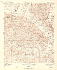
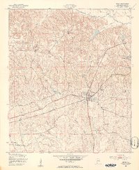
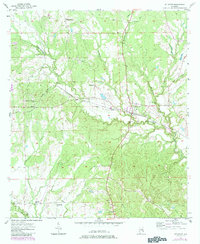
1949 Map of Fort Mitchell
USGS Topo · Published 1949This historical map portrays the area of Fort Mitchell in 1949, primarily covering Russell County as well as portions of Georgia. Featuring a scale of 1:24000, this map provides a highly detailed snapshot of the terrain, roads, buildings, counties, and historical landmarks in the Fort Mitchell region at the time. Published in 1949, it is one of 2 known editions of this map due to revisions or reprints.
Find a feature on this map
20 named features on this map. Tap any name to fly to it.
Don’t see what you’re looking for? This feature index may not catch every label — zoom into the map to look around manually.
Map Details
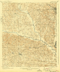
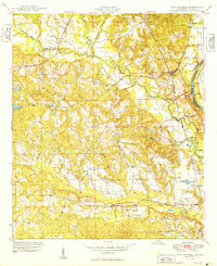
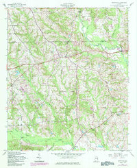
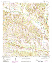
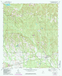
Editions of this 1949 Fort Mitchell Map
2 editions found
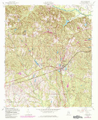
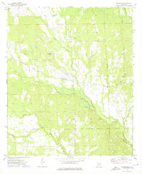
Historical Maps of Phenix City Through Time
13 maps found
1914 Seale
Russell County, AL
1949 Fort Mitchell
Russell County, AL
1950 Crawford
Russell County, AL
1950 Seale
Russell County, AL

1950 Seale
Russell County, AL
1955 Crawford
Russell County, AL
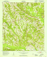
1955 Fort Mitchell
Russell County, AL

1955 Seale
Russell County, AL
1955 Seale
Russell County, AL
1957 Pittsview
Russell County, AL

1971 Marvyn
Russell County, AL
1973 Hatchechubbee
Russell County, AL
1973 Rutherford
Russell County, AL