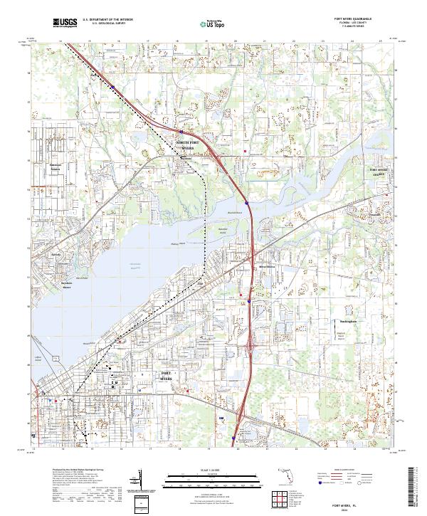
2024 Map of Fort Myers
USGS Topo · Published 2024About this map
The Caloosahatchee River corridor anchors this modern survey of Southwest Florida, where the waterway transitions into the Okeechobee Waterway. The urban landscape of Fort Myers and North Fort Myers is heavily documented, particularly the high concentration of municipal and private burial grounds near the city center, including the Fort Myers Cem, Oak Ridge Cem, and Hendry Frierson Cem. These sites, alongside religious landmarks like Temple Beth El Garden of Memories Cem, offer critical data points for genealogists tracking local families.
Find a feature on this map
53 named features on this map. Tap any name to fly to it.
Don’t see what you’re looking for? This feature index may not catch every label — zoom into the map to look around manually.
Map Details
Editions of this 2024 Fort Myers Map
This is the sole edition of this map. No revisions or reprints were ever made.
Other maps of this area

1956 · Telegraph Swamp
USGS Topo · 1:24,000

1956 · West Palm Beach
USGS Topo · 1:250,000

1957 · West Palm Beach
USGS Topo · 1:250,000

1957 · Tuckers Corner
USGS Topo · 1:24,000

1957 · Gilchrist
USGS Topo · 1:24,000

1958 · West Palm Beach
USGS Topo · 1:250,000

1958 · Fort Myers NW
USGS Topo · 1:24,000

1958 · Fort Myers SW
USGS Topo · 1:24,000

1958 · Olga
USGS Topo · 1:24,000

1958 · Alva SW
USGS Topo · 1:24,000
Featured Places
- Fort Myers, FL
- Fort Myers Shores, FL
- Orange Harbor Mobile Home Park, FL
- Bayshore Commons, FL
- Bayshore Village, FL