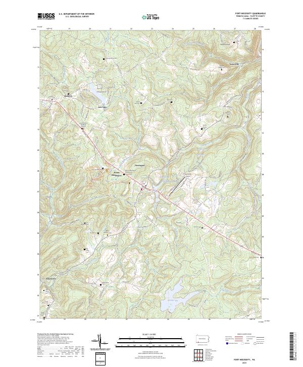
2023 Map of Fort Necessity
USGS Topo · Published 2023About this map
Fort Necessity National Battlefield serves as the centerpiece of this Fayette County landscape, marking the site of George Washington's first major military action. The terrain is deeply intertwined with colonial history, specifically the French and Indian War, as evidenced by the General Edward Braddock Gravesite located just off the National Pike. This roadway, a critical corridor for westward expansion, connects the small settlements of Chalkhill and Farmington across a landscape of high ridges and hollows. Genealogists will find a significant concentration of small family and church burial grounds, such as the Cromwell Family Cem, Hansel Cem, and Moyer Family Cem. To the north, the architecture of Kentuck Knob sits above the Cucumber Run drainage, while to the south, the village of Elliottsville anchors the rural countryside near Heritage Lake.
Find a feature on this map
116 named features on this map. Tap any name to fly to it.
Don’t see what you’re looking for? This feature index may not catch every label — zoom into the map to look around manually.
Map Details
Editions of this 2023 Fort Necessity Map
This is the sole edition of this map. No revisions or reprints were ever made.
Other maps of this area

1900 · Accident
USGS Topo · 1:62,500

1900 · Uniontown
USGS Topo · 1:62,500

1904 · Bruceton
USGS Topo · 1:62,500

1922 · Confluence
USGS Topo · 1:62,500

1926 · Bruceton
USGS Topo · 1:62,500

1931 · Uniontown
USGS Topo · 1:62,500

1931 · Confluence
USGS Topo · 1:62,500

1931 · Bruceton Mills
USGS Topo · 1:62,500

1933 · Confluence
USGS Topo · 1:62,500

1933 · Bruceton
USGS Topo · 1:62,500
Featured Places
- Farmington, Wharton Township
- Chalkhill, Wharton Township
- North Union Township, PA
- Stewart Township, PA
- Spring Valley Bruderhof, Wharton Township