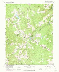
1964 Map of Fort Necessity
USGS Topo · Published 1973About this map
Fort Necessity State Park and the historic National Road corridor anchor this mid-century portrait of Fayette County. The landscape is defined by the steep transition from the Chestnut Ridge down toward the Youghiogheny River, where Cucumber Falls marks the rugged river canyon. Centered on the settlement of Farmington, the map reveals a network of rural homesteads and mountain crossroads like Chalkhill and Elliottsville.
Find a feature on this map
63 named features on this map. Tap any name to fly to it.
Don’t see what you’re looking for? This feature index may not catch every label — zoom into the map to look around manually.
Map Details
Editions of this 1964 Fort Necessity Map
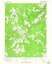
2 editions found
Other maps of this area

1900 · Accident
USGS Topo · 1:62,500

1900 · Uniontown
USGS Topo · 1:62,500

1904 · Bruceton
USGS Topo · 1:62,500

1922 · Confluence
USGS Topo · 1:62,500

1926 · Bruceton
USGS Topo · 1:62,500

1931 · Uniontown
USGS Topo · 1:62,500

1931 · Confluence
USGS Topo · 1:62,500

1931 · Bruceton Mills
USGS Topo · 1:62,500

1933 · Confluence
USGS Topo · 1:62,500

1933 · Bruceton
USGS Topo · 1:62,500
Featured Places
- Farmington, Wharton Township
- Chalkhill, Wharton Township
- North Union Township, PA
- Spring Valley Bruderhof, Wharton Township
- Wharton Township, PA