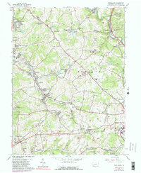
1964 Map of New Salem
USGS Topo · Published 1980About this map
Industrial Fayette County is defined here by the intricate relationship between coal extraction and worker settlements. During the mid-1960s, the landscape was a dense network of mining towns like New Salem, Republic, and Keisterville, connected by the Monongahela Railroad and Penn Central lines. The heavy industry of the era is evident in the numerous strip mines and mine dumps that dot the hills, alongside evidence of earlier eras such as the abandoned coke ovens near Allison.
Find a feature on this map
89 named features on this map. Tap any name to fly to it.
Don’t see what you’re looking for? This feature index may not catch every label — zoom into the map to look around manually.
Map Details
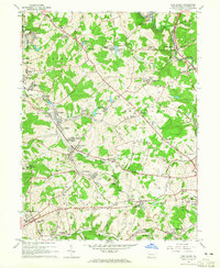
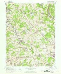
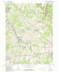
Editions of this 1964 New Salem Map
4 editions found
Other maps of this area

1900 · Uniontown
USGS Topo · 1:62,500

1900 · Masontown
USGS Topo · 1:62,500

1902 · Brownsville
USGS Topo · 1:62,500

1902 · Connellsville
USGS Topo · 1:62,500

1903 · Masontown
USGS Topo · 1:62,500

1906 · Brownsville
USGS Topo · 1:62,500

1931 · Brownsville
USGS Topo · 1:62,500

1931 · Connellsville
USGS Topo · 1:62,500

1931 · Uniontown
USGS Topo · 1:62,500

1931 · Masontown
USGS Topo · 1:62,500
Featured Places
- Luzerne Township, PA
- Redstone Township, PA
- Menallen Township, PA
- Franklin Township, PA
- German Township, PA