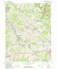
1964 Map of New Salem
USGS Topo · Published 1980About this map
Industrial heritage and coal-era settlements define this landscape in Fayette County during the mid-1960s. The region is densely populated with towns like New Salem, Republic, and Merrittstown, many of which were built around the extractive industries of the day. Evidence of this past is found in the Coke Ovens (Abandoned) near Allison and numerous labeled Mine Dumps scattered throughout the Menallen and Redstone townships. The Monongahela RR and Penn Central rail lines weave through the valleys, following watercourses like Redstone Creek and Dunlap Creek to serve the local mines.
Find a feature on this map
82 named features on this map. Tap any name to fly to it.
Don’t see what you’re looking for? This feature index may not catch every label — zoom into the map to look around manually.
Map Details
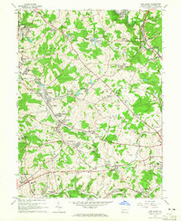
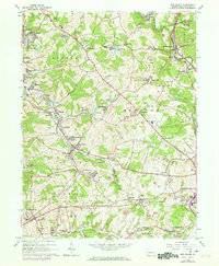
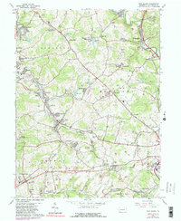
Editions of this 1964 New Salem Map
4 editions found
Other maps of this area

1900 · Uniontown
USGS Topo · 1:62,500

1900 · Masontown
USGS Topo · 1:62,500

1902 · Brownsville
USGS Topo · 1:62,500

1902 · Connellsville
USGS Topo · 1:62,500

1903 · Masontown
USGS Topo · 1:62,500

1906 · Brownsville
USGS Topo · 1:62,500

1931 · Brownsville
USGS Topo · 1:62,500

1931 · Connellsville
USGS Topo · 1:62,500

1931 · Uniontown
USGS Topo · 1:62,500

1931 · Masontown
USGS Topo · 1:62,500
Featured Places
- Luzerne Township, PA
- Redstone Township, PA
- Menallen Township, PA
- Franklin Township, PA
- German Township, PA