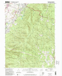
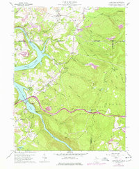
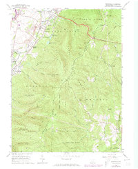
1964 Map of Brownfield
USGS Topo · Published 2002About this map
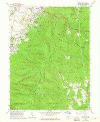
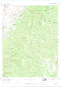
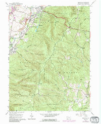
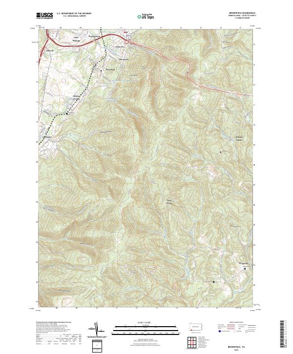
Chestnut Ridge dominates this mid-1960s landscape, serving as a backdrop for the industrial and agricultural corridors of South Union and North Union. The map illustrates a region in transition, where the legacy of early iron production is still visible at Oliphant Furnace and Wharton Furnace. Transportation routes are heavily defined by the historic National Road and the rail corridors of the Baltimore and Ohio and Penn Central, which serviced the various strip mines and gas wells dotting the hillsides.
Find a feature on this map
60 named features on this map. Tap any name to fly to it.
Don’t see what you’re looking for? This feature index may not catch every label — zoom into the map to look around manually.
Map Details
Editions of this 1964 Brownfield Map
4 editions found
Historical Maps of South Union Township Through Time
14 maps found
1960 Lake Lynn
Fayette County, PA
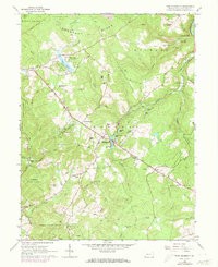
1964 Brownfield
Fayette County, PA
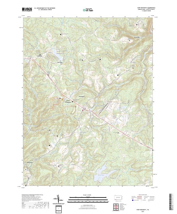
1964 Fort Necessity
Fayette County, PA
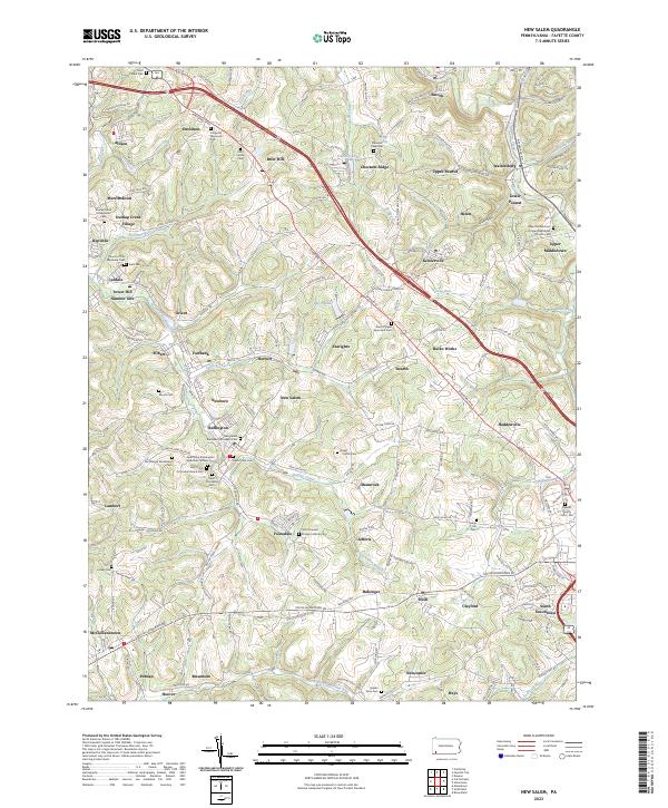
1964 New Salem
Fayette County, PA
1967 Mill Run
Fayette County, PA
1973 Brownfield
Fayette County, PA
1977 Mill Run
Fayette County, PA
1997 Lake Lynn
Fayette County, PA
1999 Mill Run
Fayette County, PA
2023 Brownfield
Fayette County, PA
2023 Fort Necessity
Fayette County, PA
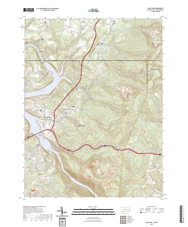
2023 Lake Lynn
Fayette County, PA
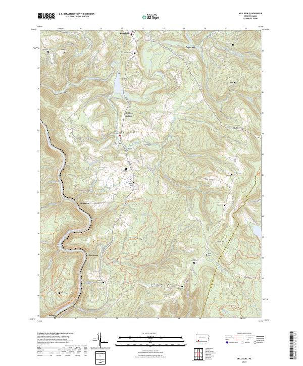
2023 Mill Run
Fayette County, PA
2023 New Salem
Fayette County, PA
Featured Locations
- South Union Township, PA
- North Union Township, PA
- Georges Township, PA
- Wharton Township, PA
- Meadowbrook, South Union Township