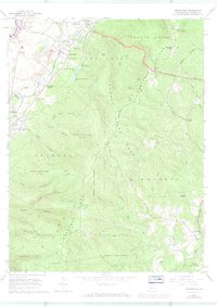
1964 Map of Brownfield
USGS Topo · Published 1973About this map
Chestnut Ridge dominates the landscape of this 1964 survey, where the industrial legacy of Fayette County is visible in names like Oliphant Furnace and Wharton Furnace. The transition from the settled valley near Brownfield and Hopwood to the deep hollows of Forbes State Forest illustrates the geographic divide created by the ridge. Significant natural features including Laurel Caverns and Pine Knob are situated among a network of steep drainages such as Lick Run and Quebec Run. The presence of several Gas Wells and Strip Mines suggests the ongoing extractive economy of the mid-20th century. Local landmarks like Washington Springs and the Hutchinson Reservoirs provided essential water resources, while the transportation corridor is defined by the historic National Road and the Penn Central railroad, linking these remote mountain settlements to the wider region.
Find a feature on this map
66 named features on this map. Tap any name to fly to it.
Don’t see what you’re looking for? This feature index may not catch every label — zoom into the map to look around manually.
Map Details
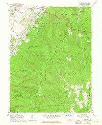
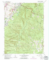
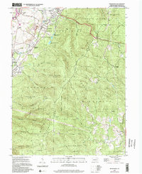
Editions of this 1964 Brownfield Map
4 editions found
Other maps of this area

1900 · Uniontown
USGS Topo · 1:62,500

1900 · Masontown
USGS Topo · 1:62,500

1902 · Morgantown
USGS Topo · 1:62,500

1903 · Masontown
USGS Topo · 1:62,500

1904 · Bruceton
USGS Topo · 1:62,500

1925 · Morgantown
USGS Topo · 1:62,500

1926 · Bruceton
USGS Topo · 1:62,500

1931 · Uniontown
USGS Topo · 1:62,500

1931 · Masontown
USGS Topo · 1:62,500

1931 · Bruceton Mills
USGS Topo · 1:62,500
Featured Places
- South Union Township, PA
- North Union Township, PA
- Meadowbrook, South Union Township
- Wharton Township, PA
- Georges Township, PA