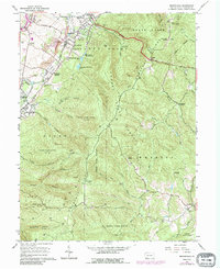
1964 Map of Brownfield
USGS Topo · Published 1990About this map
Chestnut Ridge dominates this Pennsylvania landscape, creating a dramatic physical divide between the industrial valley settlements and the high timberlands of Forbes State Forest. Traces of the region's early iron heritage remain visible at Oliphant Furnace and Wharton Furnace, while the transportation corridor of the National Road and the Penn Central tracks facilitate movement across the terrain.
Find a feature on this map
65 named features on this map. Tap any name to fly to it.
Don’t see what you’re looking for? This feature index may not catch every label — zoom into the map to look around manually.
Map Details
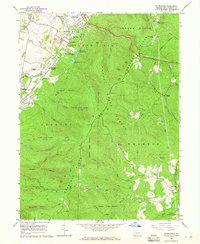
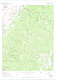
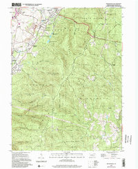
Editions of this 1964 Brownfield Map
4 editions found
Other maps of this area

1900 · Uniontown
USGS Topo · 1:62,500

1900 · Masontown
USGS Topo · 1:62,500

1902 · Morgantown
USGS Topo · 1:62,500

1903 · Masontown
USGS Topo · 1:62,500

1904 · Bruceton
USGS Topo · 1:62,500

1925 · Morgantown
USGS Topo · 1:62,500

1926 · Bruceton
USGS Topo · 1:62,500

1931 · Uniontown
USGS Topo · 1:62,500

1931 · Masontown
USGS Topo · 1:62,500

1931 · Bruceton Mills
USGS Topo · 1:62,500
Featured Places
- South Union Township, PA
- North Union Township, PA
- Meadowbrook, South Union Township
- Wharton Township, PA
- Georges Township, PA