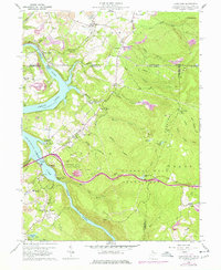
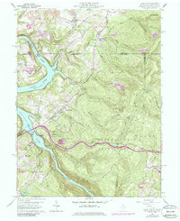
1960 Map of Lake Lynn
USGS Topo · Published 1986About this map
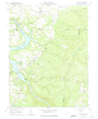
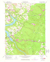
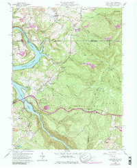
Cheat Lake and the Cheat River dominate this 1960s-era landscape along the West Virginia and Pennsylvania border, revealing a region defined by recreational development and heavy industry. The map illustrates the growth of settlements like Cheat Neck and Tyrone alongside established landmarks such as the Clay Furnace and the Sand Spring Lookout Tower. The extensive Strip Mines and numerous quarries throughout the Springhill and Union districts contrast with the protected lands of Coopers Rock State Forest and Mont Chateau State Park. Genealogists and local historians will find significant detail in the placement of rural institutions, including the Sugar Grove Sch, Pletcher Chapel, and family burial sites like Donaldson Cem and Blaney Cem. The Baltimore and Ohio railroad corridor traces the riverbank, connecting industrial sites like the Power Station to the broader regional network.
Find a feature on this map
62 named features on this map. Tap any name to fly to it.
Don’t see what you’re looking for? This feature index may not catch every label — zoom into the map to look around manually.
Map Details
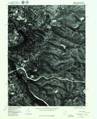
Editions of this 1960 Lake Lynn Map
9 editions found
Other maps of this area

1900 · Uniontown
USGS Topo · 1:62,500

1900 · Masontown
USGS Topo · 1:62,500

1902 · Morgantown
USGS Topo · 1:62,500

1903 · Masontown
USGS Topo · 1:62,500

1904 · Bruceton
USGS Topo · 1:62,500

1925 · Morgantown
USGS Topo · 1:62,500

1926 · Bruceton
USGS Topo · 1:62,500

1931 · Uniontown
USGS Topo · 1:62,500

1931 · Masontown
USGS Topo · 1:62,500

1931 · Bruceton Mills
USGS Topo · 1:62,500