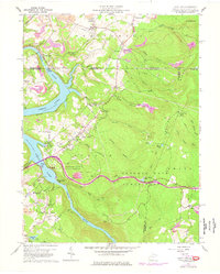
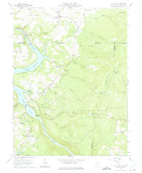
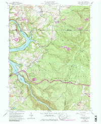
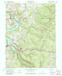
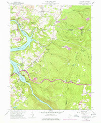
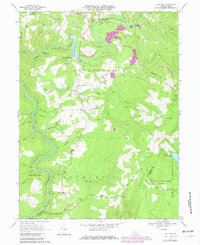
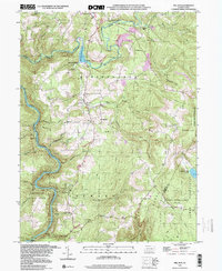
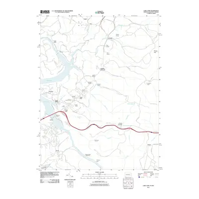
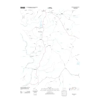
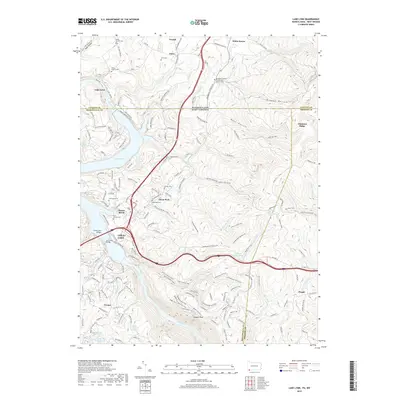
1960 Map of Lake Lynn
USGS Topo · Published 1977About this map
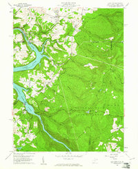
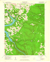
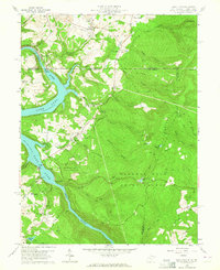
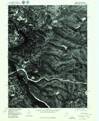
The Cheat River carves a deep valley through the northern Appalachian highlands, forming the extensive Cheat Lake reservoir along the border of West Virginia and Pennsylvania. This landscape is defined by the transition from industrial extraction to conservation, featuring the sprawling Coopers Rock State Forest and the riverside Mont Chateau State Park. Traces of the region's iron-making past remain at Clay Furnace along Clay Run, while the uplands of Chestnut Ridge are marked by numerous Strip Mines and quarries.
Find a feature on this map
70 named features on this map. Tap any name to fly to it.
Don’t see what you’re looking for? This feature index may not catch every label — zoom into the map to look around manually.
Map Details
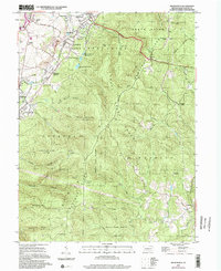
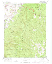
Editions of this 1960 Lake Lynn Map
9 editions found
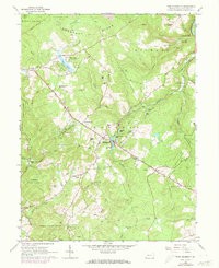
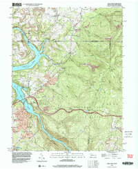
Historical Maps of Springhill Township Through Time
34 maps found
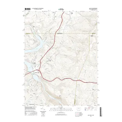
1960 Lake Lynn
Fayette County, PA
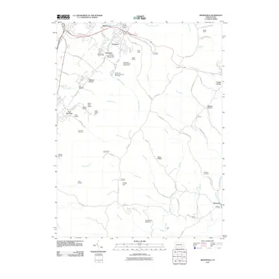
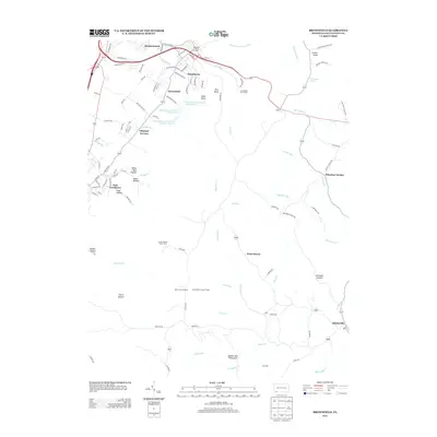
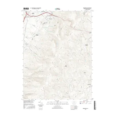
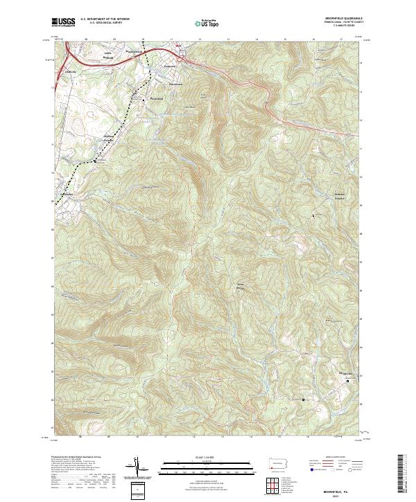
1964 Brownfield
Fayette County, PA
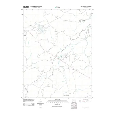
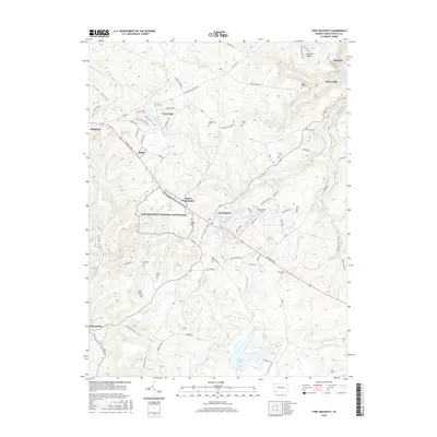
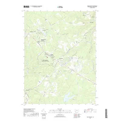
1964 Fort Necessity
Fayette County, PA
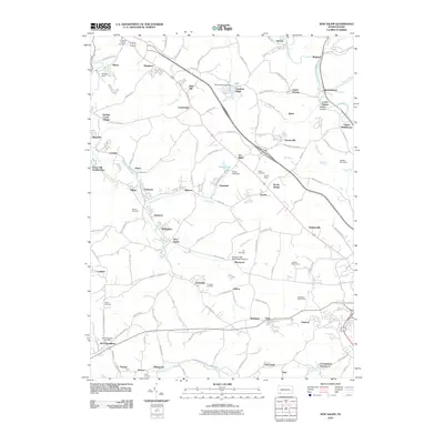
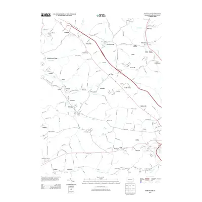
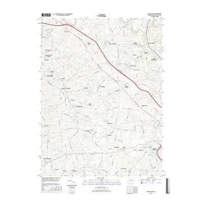
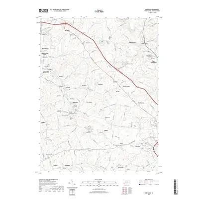
1964 New Salem
Fayette County, PA
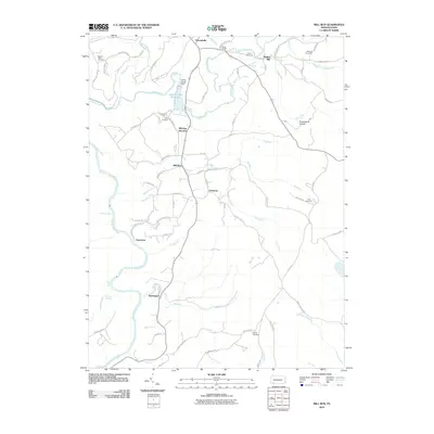
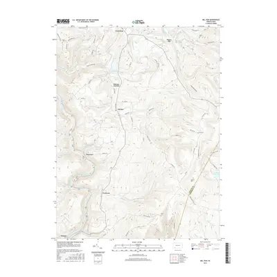
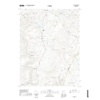
1967 Mill Run
Fayette County, PA
1973 Brownfield
Fayette County, PA
1977 Mill Run
Fayette County, PA
1997 Lake Lynn
Fayette County, PA
1999 Mill Run
Fayette County, PA
2010 Brownfield
Fayette County, PA
2010 Fort Necessity
Fayette County, PA
2010 Mill Run
Fayette County, PA
2010 New Salem
Fayette County, PA
2011 Lake Lynn
Fayette County, PA
2013 Brownfield
Fayette County, PA

2013 Fort Necessity
Fayette County, PA
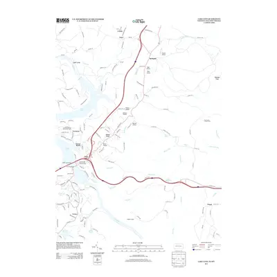
2013 Lake Lynn
Fayette County, PA
2013 Mill Run
Fayette County, PA
2013 New Salem
Fayette County, PA
2016 Brownfield
Fayette County, PA
2016 Fort Necessity
Fayette County, PA
2016 Lake Lynn
Fayette County, PA
2016 Mill Run
Fayette County, PA
2016 New Salem
Fayette County, PA

2019 Brownfield
Fayette County, PA
2019 Fort Necessity
Fayette County, PA
2019 Lake Lynn
Fayette County, PA
2019 Mill Run
Fayette County, PA
2019 New Salem
Fayette County, PA
2023 Brownfield
Fayette County, PA
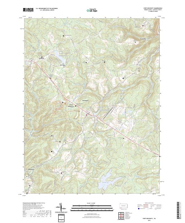
2023 Fort Necessity
Fayette County, PA
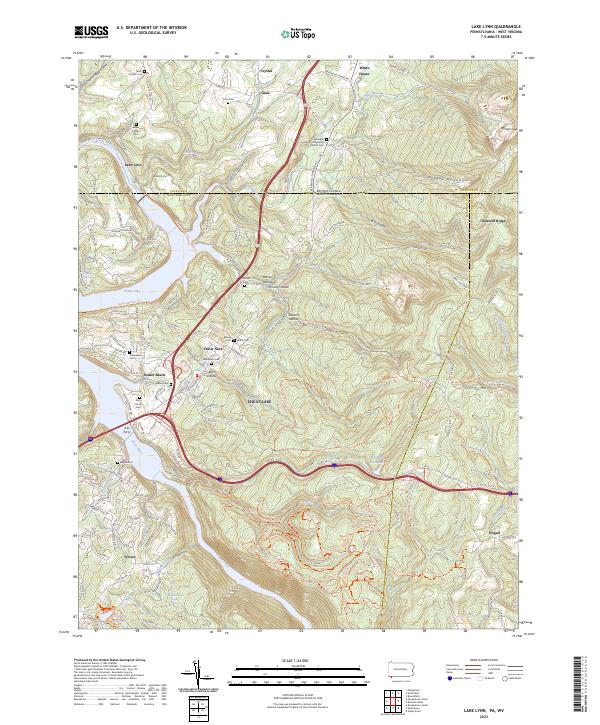
2023 Lake Lynn
Fayette County, PA
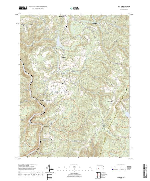
2023 Mill Run
Fayette County, PA
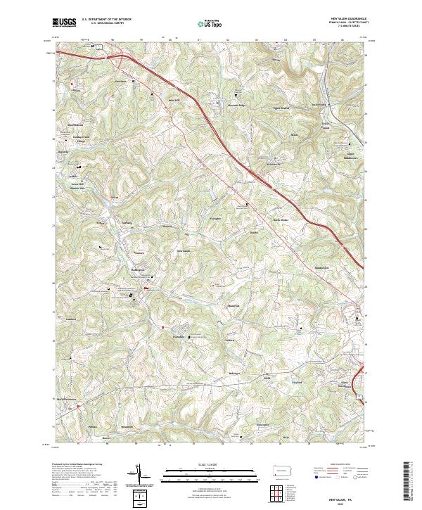
2023 New Salem
Fayette County, PA