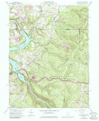
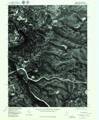
1960 Map of Lake Lynn
USGS Topo · Published 1986About this map
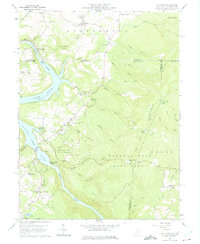
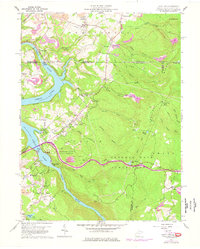
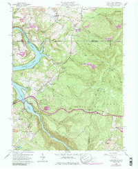
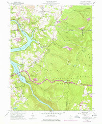
The Cheat River corridor, including the waters of Lake Lynn and Cheat Lake, defines this borderland landscape between West Virginia and Pennsylvania. Historically significant industrial and recreational sites line the riverbanks, from the Power Station near the dam to the public spaces of Mont Chateau State Park and Coopers Rock State Forest. The map documents the region's diverse economic history, showing the Clay Furnace alongside the extensive Strip Mines that mark the hillsides of Springhill. Communities like Cheat Neck and Sunset Beach provide a record of local residential growth, while the Baltimore and Ohio Railroad and the Ices Ferry Bridge highlight the transport networks connecting these rugged ridges. Family history is preserved through scattered markers like Donaldson Cem and Baker Cem.
Find a feature on this map
60 named features on this map. Tap any name to fly to it.
Don’t see what you’re looking for? This feature index may not catch every label — zoom into the map to look around manually.
Map Details
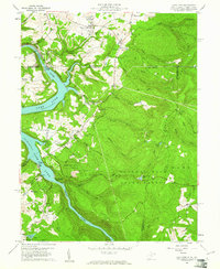
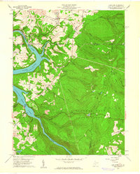
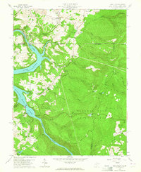
Editions of this 1960 Lake Lynn Map
9 editions found
Other maps of this area

1900 · Uniontown
USGS Topo · 1:62,500

1900 · Masontown
USGS Topo · 1:62,500

1902 · Morgantown
USGS Topo · 1:62,500

1903 · Masontown
USGS Topo · 1:62,500

1904 · Bruceton
USGS Topo · 1:62,500

1925 · Morgantown
USGS Topo · 1:62,500

1926 · Bruceton
USGS Topo · 1:62,500

1931 · Uniontown
USGS Topo · 1:62,500

1931 · Masontown
USGS Topo · 1:62,500

1931 · Bruceton Mills
USGS Topo · 1:62,500