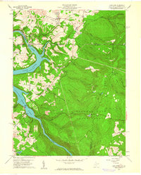
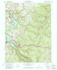
1960 Map of Lake Lynn
USGS Topo · Published 1961About this map
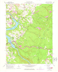
Cheat River dominates this 1960s landscape, widening into Lake Lynn behind the power station near the state line. The map illustrates the mid-century intersection of recreation and industry, where Sunset Beach and Mont Chateau State Park sit in close proximity to extensive strip mines and active quarries. Transportation is anchored by the Baltimore and Ohio railroad and the Ices Ferry Bridge, while the uplands of Chestnut Ridge are defined by the sprawling Coopers Rock State Forest.
Find a feature on this map
67 named features on this map. Tap any name to fly to it.
Don’t see what you’re looking for? This feature index may not catch every label — zoom into the map to look around manually.
Map Details
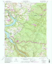
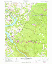
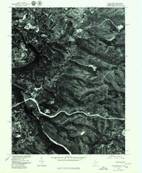
Editions of this 1960 Lake Lynn Map
9 editions found
Other maps of this area

1900 · Uniontown
USGS Topo · 1:62,500

1900 · Masontown
USGS Topo · 1:62,500

1902 · Morgantown
USGS Topo · 1:62,500

1903 · Masontown
USGS Topo · 1:62,500

1904 · Bruceton
USGS Topo · 1:62,500

1925 · Morgantown
USGS Topo · 1:62,500

1926 · Bruceton
USGS Topo · 1:62,500

1931 · Uniontown
USGS Topo · 1:62,500

1931 · Masontown
USGS Topo · 1:62,500

1931 · Bruceton Mills
USGS Topo · 1:62,500