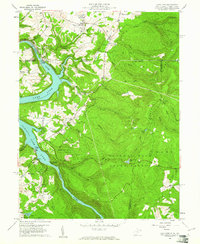
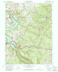
1960 Map of Lake Lynn
USGS Topo · Published 1961About this map
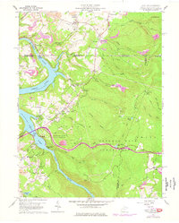
Cheat River carves a deep valley through the northern Appalachian landscape, widening into Lake Lynn behind the power station. The terrain is characterized by the steep ascent of Chestnut Ridge to the east and Georges Ridge to the north, with numerous hollows like Blaney Hollow and Johnson Hollow draining the high ground. Settlement is concentrated along the riverbanks and ridges, featuring small communities such as Cheat Neck and Springhill.
Find a feature on this map
70 named features on this map. Tap any name to fly to it.
Don’t see what you’re looking for? This feature index may not catch every label — zoom into the map to look around manually.
Map Details
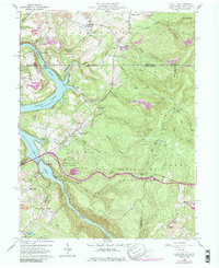
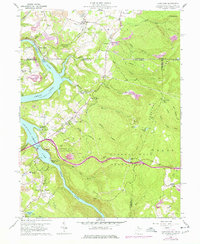
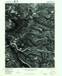
Editions of this 1960 Lake Lynn Map
9 editions found
Other maps of this area

1900 · Uniontown
USGS Topo · 1:62,500

1900 · Masontown
USGS Topo · 1:62,500

1902 · Morgantown
USGS Topo · 1:62,500

1903 · Masontown
USGS Topo · 1:62,500

1904 · Bruceton
USGS Topo · 1:62,500

1925 · Morgantown
USGS Topo · 1:62,500

1926 · Bruceton
USGS Topo · 1:62,500

1931 · Uniontown
USGS Topo · 1:62,500

1931 · Masontown
USGS Topo · 1:62,500

1931 · Bruceton Mills
USGS Topo · 1:62,500