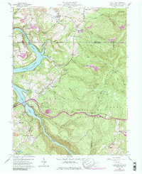
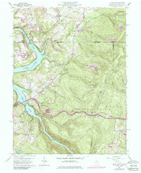
1960 Map of Lake Lynn
USGS Topo · Published 1986About this map
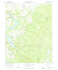
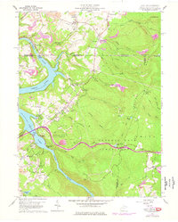
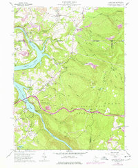
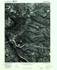
Chestnut Ridge dominates the eastern horizon of this quadrangle, while the Cheat River carves through the landscape to form the expansive Lake Lynn and Cheat Lake. The terrain is marked by industrial and recreational evolution, featuring numerous strip mines alongside the conservation lands of Coopers Rock State Forest and Mont Chateau State Park. Traces of early regional industry remain at Clay Furnace, while modern infrastructure is represented by the Ices Ferry Bridge and the Power Station near the Pennsylvania border. Small settlements and rural institutions like Cheat Neck, Fletcher Chapel, and the Sugar Grove Sch provide a detailed view of the community layout during the mid-twentieth century. The map also captures the Baltimore and Ohio railroad corridor as it follows the river's bend near Gans and Crystal.
Find a feature on this map
61 named features on this map. Tap any name to fly to it.
Don’t see what you’re looking for? This feature index may not catch every label — zoom into the map to look around manually.
Map Details
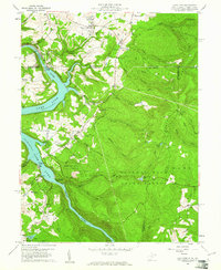
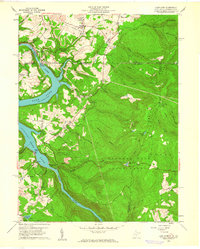
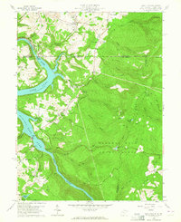
Editions of this 1960 Lake Lynn Map
9 editions found
Other maps of this area

1900 · Uniontown
USGS Topo · 1:62,500

1900 · Masontown
USGS Topo · 1:62,500

1902 · Morgantown
USGS Topo · 1:62,500

1903 · Masontown
USGS Topo · 1:62,500

1904 · Bruceton
USGS Topo · 1:62,500

1925 · Morgantown
USGS Topo · 1:62,500

1926 · Bruceton
USGS Topo · 1:62,500

1931 · Uniontown
USGS Topo · 1:62,500

1931 · Masontown
USGS Topo · 1:62,500

1931 · Bruceton Mills
USGS Topo · 1:62,500