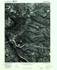
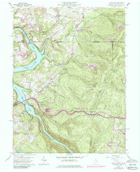
1960 Map of Lake Lynn
USGS Topo · Published 1986About this map
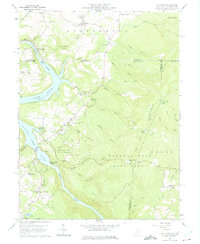
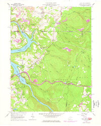
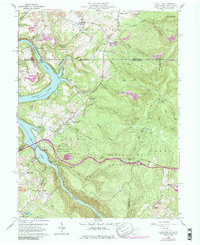
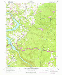
Cheat River carves a deep, winding course through this borderland region between Pennsylvania and West Virginia as it appeared in the mid-1970s. This orthophoto provides a rare literal view of the landscape's transformation, showing the interplay between the dense forest and the distinct clearings of settlements like Gans and Pisgah. The aerial imagery reveals the footprint of local development and agriculture around Cheat Neck, where the terrain begins to transition from the river valley to the higher ridgelines. Because this is a photographic record rather than a line-drawn map, researchers can identify individual property boundaries, road alignments, and the specific density of vegetation along the riverbanks that traditional topographic symbols might generalize.
Find a feature on this map
4 named features on this map. Tap any name to fly to it.
Don’t see what you’re looking for? This feature index may not catch every label — zoom into the map to look around manually.
Map Details
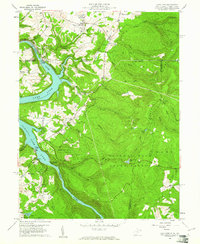
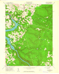
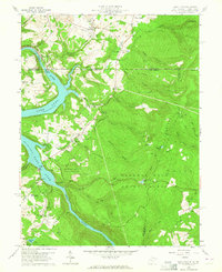
Editions of this 1960 Lake Lynn Map
9 editions found
Other maps of this area

1900 · Uniontown
USGS Topo · 1:62,500

1900 · Masontown
USGS Topo · 1:62,500

1902 · Morgantown
USGS Topo · 1:62,500

1903 · Masontown
USGS Topo · 1:62,500

1904 · Bruceton
USGS Topo · 1:62,500

1925 · Morgantown
USGS Topo · 1:62,500

1926 · Bruceton
USGS Topo · 1:62,500

1931 · Uniontown
USGS Topo · 1:62,500

1931 · Masontown
USGS Topo · 1:62,500

1931 · Bruceton Mills
USGS Topo · 1:62,500