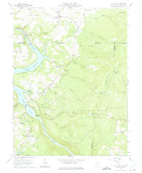
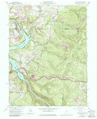
1960 Map of Lake Lynn
USGS Topo · Published 1975About this map
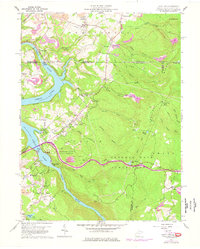
Cheat River dominates this 1960 landscape, widening into Lake Lynn behind the dam near the Pennsylvania and West Virginia border. The terrain is defined by the steep elevation changes of Chestnut Ridge and Georges Ridge, where extensive Strip Mines and several quarries mark the industrial activity of the mid-century era. This map documents a period when local infrastructure was heavily influenced by both resource extraction and the developing park system, as evidenced by the proximity of industrial sites to Coopers Rock State Forest.
Find a feature on this map
69 named features on this map. Tap any name to fly to it.
Don’t see what you’re looking for? This feature index may not catch every label — zoom into the map to look around manually.
Map Details
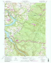
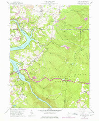
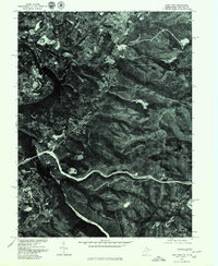
Editions of this 1960 Lake Lynn Map
9 editions found
Other maps of this area

1900 · Uniontown
USGS Topo · 1:62,500

1900 · Masontown
USGS Topo · 1:62,500

1902 · Morgantown
USGS Topo · 1:62,500

1903 · Masontown
USGS Topo · 1:62,500

1904 · Bruceton
USGS Topo · 1:62,500

1925 · Morgantown
USGS Topo · 1:62,500

1926 · Bruceton
USGS Topo · 1:62,500

1931 · Uniontown
USGS Topo · 1:62,500

1931 · Masontown
USGS Topo · 1:62,500

1931 · Bruceton Mills
USGS Topo · 1:62,500