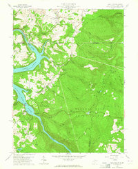
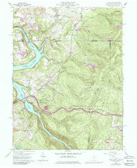
1960 Map of Lake Lynn
USGS Topo · Published 1964About this map
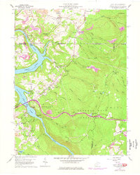
The Cheat Lake reservoir, formed by a dam on the Cheat River, dominates this West Virginia landscape where the water meets the steep slopes of Chestnut Ridge. Along the shoreline, recreation and community development are evident at Sunset Beach and the Lakeview Country Club Road, while the Mont Chateau State Park provides public access to the river's edge. This 1960s-era geography shows a transition between the industrial legacy of the region, marked by extensive Strip Mines and the historic Clay Furnace, and the conservation efforts within the expansive Coopers Rock State Forest.
Find a feature on this map
60 named features on this map. Tap any name to fly to it.
Don’t see what you’re looking for? This feature index may not catch every label — zoom into the map to look around manually.
Map Details
Editions of this 1960 Lake Lynn Map
9 editions found
Other maps of this area

1900 · Uniontown
USGS Topo · 1:62,500

1900 · Masontown
USGS Topo · 1:62,500

1902 · Morgantown
USGS Topo · 1:62,500

1903 · Masontown
USGS Topo · 1:62,500

1904 · Bruceton
USGS Topo · 1:62,500

1925 · Morgantown
USGS Topo · 1:62,500

1926 · Bruceton
USGS Topo · 1:62,500

1931 · Uniontown
USGS Topo · 1:62,500

1931 · Masontown
USGS Topo · 1:62,500

1931 · Bruceton Mills
USGS Topo · 1:62,500