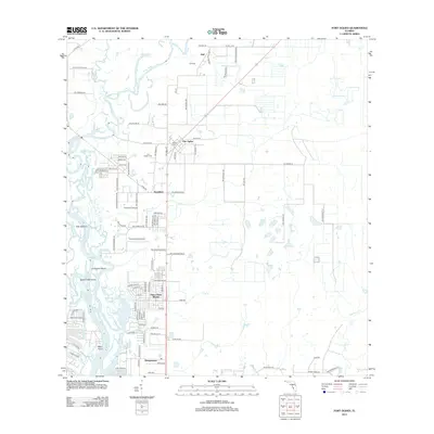
2012 Map of Fort Ogden
USGS Topo · Published 2012About this map
The Peace River carves a winding path through this Florida landscape, defining a network of islands and creek mouths including Cow Island, Liverpool Island, and Island Thirty-three. The settlement pattern reflects both early foundations and modern development, anchored by the community of Fort Ogden. This area is characterized by its transition from the riverbanks to the inland prairies, where the small settlement of Hull sits near the northern boundary.
Find a feature on this map
93 named features on this map. Tap any name to fly to it.
Don’t see what you’re looking for? This feature index may not catch every label — zoom into the map to look around manually.
Map Details
Editions of this 2012 Fort Ogden Map
This is the sole edition of this map. No revisions or reprints were ever made.
Other maps of this area

1956 · Arcadia SE
USGS Topo · 1:24,000

1956 · Murdock SE
USGS Topo · 1:24,000

1956 · Murdock NE
USGS Topo · 1:24,000

1956 · Cleveland
USGS Topo · 1:24,000

1956 · Ft. Ogden
USGS Topo · 1:24,000

1956 · Nocatee
USGS Topo · 1:24,000

1956 · Bermont
USGS Topo · 1:24,000

1956 · West Palm Beach
USGS Topo · 1:250,000

1956 · Tampa
USGS Topo · 1:250,000

1956 · Fort Pierce
USGS Topo · 1:250,000