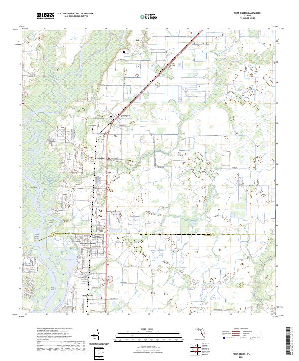
2024 Map of Fort Ogden
USGS Topo · Published 2024About this map
The Peace River corridor defines this portion of the Florida landscape, winding southward past a series of established communities and family landmarks. The settlement of Fort Ogden serves as a central hub, flanked by the residential developments of Southfort and Peace River Shores further downstream. For those tracing family histories, several burial grounds are documented, including Hull Cem, King Cem, and the Fort Ogden Cem.
Find a feature on this map
73 named features on this map. Tap any name to fly to it.
Don’t see what you’re looking for? This feature index may not catch every label — zoom into the map to look around manually.
Map Details
Editions of this 2024 Fort Ogden Map
This is the sole edition of this map. No revisions or reprints were ever made.
Other maps of this area

1956 · Arcadia SE
USGS Topo · 1:24,000

1956 · Murdock SE
USGS Topo · 1:24,000

1956 · Murdock NE
USGS Topo · 1:24,000

1956 · Cleveland
USGS Topo · 1:24,000

1956 · Ft. Ogden
USGS Topo · 1:24,000

1956 · Nocatee
USGS Topo · 1:24,000

1956 · Bermont
USGS Topo · 1:24,000

1956 · West Palm Beach
USGS Topo · 1:250,000

1956 · Tampa
USGS Topo · 1:250,000

1956 · Fort Pierce
USGS Topo · 1:250,000