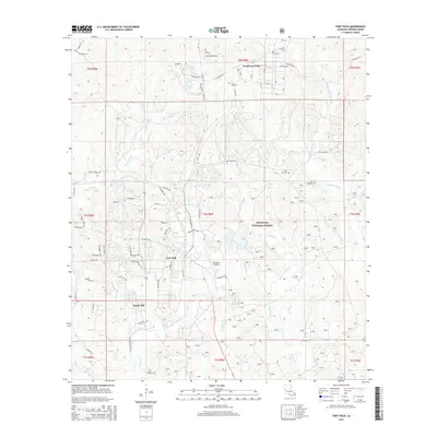
2015 Map of Fort Polk
USGS Topo · Published 2015About this map
Fort Polk and the adjacent North Fort Polk dominate this Vernon Parish landscape, serving as the central focus of a highly organized military infrastructure. The map reveals an intricate grid of training areas and base facilities, including the Polk Army Airfield and numerous named streets such as Artillery Rd and Infantry Rd. Outside the primary installations, the land transitions into the Kisatchie National Forest, where the terrain is defined by a dense network of drainage systems like Whisky Chitto Cr and Bundick Cr.
Find a feature on this map
92 named features on this map. Tap any name to fly to it.
Don’t see what you’re looking for? This feature index may not catch every label — zoom into the map to look around manually.
Map Details
Editions of this 2015 Fort Polk Map
This is the sole edition of this map. No revisions or reprints were ever made.
Other maps of this area

1941 · Leesville
USGS Topo · 1:62,500

1941 · Slagle
USGS Topo · 1:62,500

1943 · Leesville
USGS Topo · 1:62,500

1944 · Slagle
USGS Topo · 1:62,500

1946 · Leesville
USGS Topo · 1:62,500

1947 · Rosepine
USGS Topo · 1:31,680

1947 · Chasmore
USGS Topo · 1:31,680

1947 · Sugrue
USGS Topo · 1:31,680

1948 · Leesville
USGS Topo · 1:62,500

1952 · Lake Charles
USGS Topo · 1:250,000
Featured Places
- North Fort Polk, LA
- Fort Johnson South, LA
- Sandy Hill, LA
- Fort Polk, Fort Johnson South
- Vernon Parish, LA