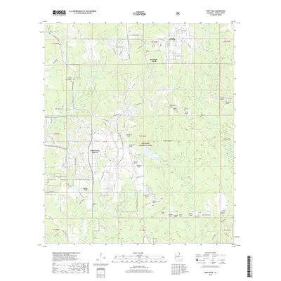
2018 Map of Fort Polk
USGS Topo · Published 2018About this map
Fort Polk South and Fort Polk North anchor this detailed survey of a vital military installation in Vernon Parish, Louisiana. The landscape is characterized by a dense network of specialized infrastructure, including the Polk Army Airfield and an extensive series of training or observation towers such as McClellan Tower, Pershing Tower, and Beauregard Tower. These military features are integrated into the natural topography of the Kisatchie National Forest, where drainages like Bundick Creek and Whiskey Chitto Creek carve through the terrain.
Find a feature on this map
106 named features on this map. Tap any name to fly to it.
Don’t see what you’re looking for? This feature index may not catch every label — zoom into the map to look around manually.
Map Details
Editions of this 2018 Fort Polk Map
This is the sole edition of this map. No revisions or reprints were ever made.
Other maps of this area

1941 · Leesville
USGS Topo · 1:62,500

1941 · Slagle
USGS Topo · 1:62,500

1943 · Leesville
USGS Topo · 1:62,500

1944 · Slagle
USGS Topo · 1:62,500

1946 · Leesville
USGS Topo · 1:62,500

1947 · Rosepine
USGS Topo · 1:31,680

1947 · Chasmore
USGS Topo · 1:31,680

1947 · Sugrue
USGS Topo · 1:31,680

1948 · Leesville
USGS Topo · 1:62,500

1952 · Lake Charles
USGS Topo · 1:250,000
Featured Places
- North Fort Polk, LA
- Fort Johnson South, LA
- Sandy Hill, LA
- Fort Polk, Fort Johnson South
- Vernon Parish, LA