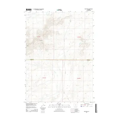
2015 Map of Fort Ridge
USGS Topo · Published 2015About this map
Fort Ridge and the Sentinel Rocks dominate this high-desert landscape in central Wyoming, where the terrain transitions across the Natrona County and Carbon County line. The northern portion of the map is defined by the winding course of the Sweetwater River and the isolated Playa Lake, reflecting a region shaped by ephemeral water sources and seasonal drainage. Further south, the map details a network of canyons and creeks including Arkansas Cr and E Arkansas Cr, which drain the elevated ridges toward Annis Reservoir. This modern survey illustrates how traditional ranching and access routes like Buzzard Rd and Cr 305 follow the natural topography of the high plains, providing a clear record of the area's rural land management and geographic structure.
Find a feature on this map
14 named features on this map. Tap any name to fly to it.
Don’t see what you’re looking for? This feature index may not catch every label — zoom into the map to look around manually.
Map Details
Editions of this 2015 Fort Ridge Map
This is the sole edition of this map. No revisions or reprints were ever made.
Other maps of this area

1951 · Benton Basin SW
USGS Topo · 1:24,000

1951 · Pathfinder Reservoir NW
USGS Topo · 1:24,000

1951 · Independence Rock
USGS Topo · 1:24,000

1951 · Fort Ridge
USGS Topo · 1:24,000

1953 · Pathfinder Reservoir SW
USGS Topo · 1:24,000

1953 · Buzzard Ranch
USGS Topo · 1:24,000

1953 · Spanish Mine
USGS Topo · 1:24,000

1955 · Casper
USGS Topo · 1:250,000

1958 · Casper
USGS Topo · 1:250,000

1959 · Sanford Ranch
USGS Topo · 1:24,000