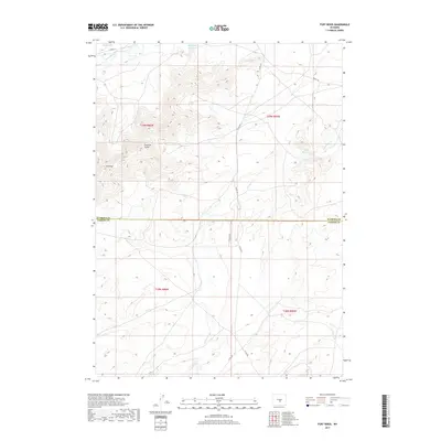
2017 Map of Fort Ridge
USGS Topo · Published 2017About this map
Sentinel Rocks and the distinctive crest of Ft Ridge define the central uplands of this high-altitude landscape along the border of Natrona and Carbon counties. In the northern reaches, the Sweetwater River flows toward the extensive waters of Pathfinder Reservoir, a major catchment on the high plains. The terrain is marked by a complex network of seasonal drainages, including Arkansas Cr and its eastern branch, which weave through the high ridges. This 2017 survey reflects the modern infrastructure of this remote Wyoming ranching and recreation corridor, detailing gravel access routes like Buzzard Rd and remote paths such as the Annis Trl near Annis Reservoir. The mapping provides a clear record of the Public Land Survey System township and range divisions that still govern property and resource management in this wide-open high country.
Find a feature on this map
19 named features on this map. Tap any name to fly to it.
Don’t see what you’re looking for? This feature index may not catch every label — zoom into the map to look around manually.
Map Details
Editions of this 2017 Fort Ridge Map
This is the sole edition of this map. No revisions or reprints were ever made.
Other maps of this area

1951 · Benton Basin SW
USGS Topo · 1:24,000

1951 · Pathfinder Reservoir NW
USGS Topo · 1:24,000

1951 · Independence Rock
USGS Topo · 1:24,000

1951 · Fort Ridge
USGS Topo · 1:24,000

1953 · Pathfinder Reservoir SW
USGS Topo · 1:24,000

1953 · Buzzard Ranch
USGS Topo · 1:24,000

1953 · Spanish Mine
USGS Topo · 1:24,000

1955 · Casper
USGS Topo · 1:250,000

1958 · Casper
USGS Topo · 1:250,000

1959 · Sanford Ranch
USGS Topo · 1:24,000