
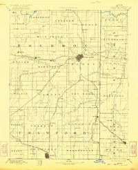
1893 Map of Fort Scott
USGS Topo · Published 1893About this map
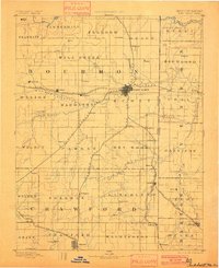
Fort Scott serves as the regional hub of this late nineteenth-century landscape, where a dense network of iron rails converges. The Missouri Pacific Railroad and the Kansas City Ft Scott and Gulf Railroad dominate the local economy, connecting smaller agricultural settlements like Uniontown, Redfield, and Hiattville to broader markets. The terrain is defined by the winding paths of the Marmaton River and the Little Osage River, which carve through the townships of Bourbon and Crawford. The presence of numerous small post offices and communities such as Zenia (Hay), Glendale, and Cato illustrates the dispersed nature of early Kansas settlement before many of these rural centers consolidated. Farther south, the St Louis and San Francisco Railroad clips the corner near Hepler, emphasizing the critical role of rail transport in the development of the Kansas Missouri Boundary Line region.
Find a feature on this map
77 named features on this map. Tap any name to fly to it.
Don’t see what you’re looking for? This feature index may not catch every label — zoom into the map to look around manually.
Map Details
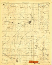
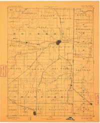
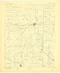
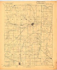
Editions of this 1893 Fort Scott Map
7 editions found
Other maps of this area

1884 · Fort Scott
USGS Topo · 1:125,000

1885 · Garnett
USGS Topo · 1:125,000

1886 · Nevada
USGS Topo · 1:125,000

1886 · Joplin
USGS Topo · 1:125,000

1886 · Iola
USGS Topo · 1:125,000

1886 · Fort Scott
USGS Topo · 1:125,000

1886 · Carthage
USGS Topo · 1:125,000

1886 · Parsons
USGS Topo · 1:125,000

1887 · Butler
USGS Topo · 1:125,000

1887 · Mound City
USGS Topo · 1:125,000