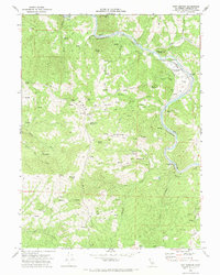
1969 Map of Fort Seward
USGS Topo · Published 1974About this map
Fort Seward and the Eel River valley define this remote section of Humboldt County during the late 1960s. The landscape is dominated by the steep ascent to Mail Ridge, where Mail Ridge Road follows the spine of the mountains past landmarks like Hurlbutt Ranch and Tuttle Buttes. The river corridor below serves as the primary transportation artery, carrying the Northwestern Pacific railroad line through narrow canyons past the Gaging Station and Hubbard Station.
Find a feature on this map
39 named features on this map. Tap any name to fly to it.
Don’t see what you’re looking for? This feature index may not catch every label — zoom into the map to look around manually.
Map Details
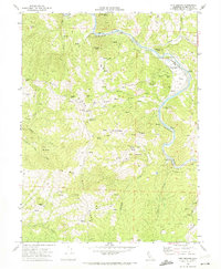
Editions of this 1969 Fort Seward Map
2 editions found
Other maps of this area

1920 · Harris
USGS Topo · 1:62,500

1921 · Dyerville
USGS Topo · 1:62,500

1921 · Briceland
USGS Topo · 1:62,500

1949 · Blocksburg
USGS Topo · 1:62,500

1949 · Alderpoint
USGS Topo · 1:62,500

1949 · Garberville
USGS Topo · 1:62,500

1949 · Weott
USGS Topo · 1:62,500

1951 · Alderpoint
USGS Topo · 1:62,500

1951 · Weott
USGS Topo · 1:62,500

1951 · Garberville
USGS Topo · 1:62,500