
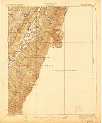
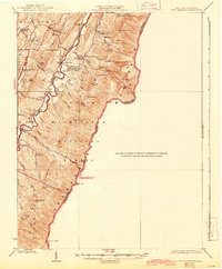
1924 Map of Fort Seybert
USGS Topo · Published 1924About this map
Fort Seybert and the valley of the South Fork Moorefield River anchor this 1920s survey of Pendleton County. The landscape is defined by the high ridges of Shenandoah Mountain and Mill Run Mountain, which frame a tightly packed network of rural community institutions. The settlement pattern here reflects early twentieth-century mountain life, where nearly every drainage or hollow supported its own small educational or religious center.
Find a feature on this map
58 named features on this map. Tap any name to fly to it.
Don’t see what you’re looking for? This feature index may not catch every label — zoom into the map to look around manually.
Map Details
Editions of this 1924 Fort Seybert Map
3 editions found
Other maps of this area

1892 · Franklin
USGS Topo · 1:125,000

1892 · Woodstock
USGS Topo · 1:125,000

1892 · Harrisonburg
USGS Topo · 1:125,000

1894 · Staunton
USGS Topo · 1:125,000

1896 · Franklin
USGS Topo · 1:125,000

1920 · Petersburg
USGS Topo · 1:48,000

1920 · Onego
USGS Topo · 1:62,500

1921 · Orkney Springs
USGS Topo · 1:48,000

1921 · Petersburg
USGS Topo · 1:48,000

1921 · Onego
USGS Topo · 1:48,000