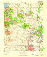
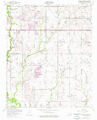
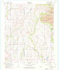
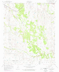
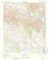
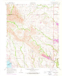
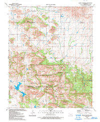
1956 Map of Fort Sill
USGS Topo · Published 1959This historical map portrays the area of Fort Sill in 1956, primarily covering Comanche County. Featuring a scale of 1:24000, this map provides a highly detailed snapshot of the terrain, roads, buildings, counties, and historical landmarks in the Fort Sill region at the time. Published in 1959, it is one of 4 known editions of this map due to revisions or reprints.
Find a feature on this map
70 named features on this map. Tap any name to fly to it.
Don’t see what you’re looking for? This feature index may not catch every label — zoom into the map to look around manually.
Map Details
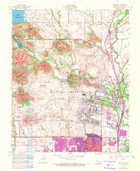
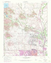
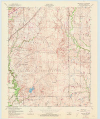
Editions of this 1956 Fort Sill Map
4 editions found
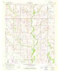
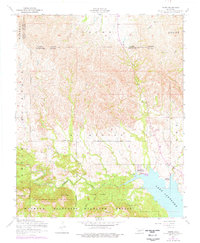
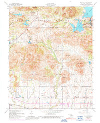
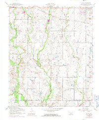
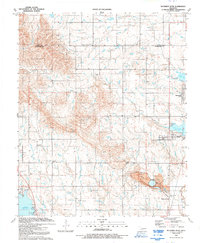
Historical Maps of Chatto Crossing Through Time
35 maps found

1937 Quanah Mountain
Comanche County, OK

1949 Arbuckle Hill
Comanche County, OK

1949 Fort Sill
Comanche County, OK

1949 Mount Scott
Comanche County, OK

1949 Nellie
Comanche County, OK

1949 Quanah Mountain
Comanche County, OK

1950 Saddle Mountain
Comanche County, OK
1956 Arbuckle Hill
Comanche County, OK
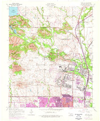
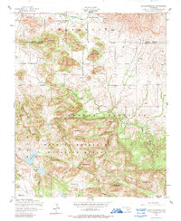
1956 Fort Sill
Comanche County, OK
1956 Letitia
Comanche County, OK
1956 Meers
Comanche County, OK
1956 Mount Scott
Comanche County, OK

1956 Nellie
Comanche County, OK
1956 Ninemile Creek
Comanche County, OK
1956 Odetta
Comanche County, OK
1956 Post Oak Creek
Comanche County, OK
1956 Quanah Mountain
Comanche County, OK
1956 Richards Spur
Comanche County, OK

1956 Saddle Mountain
Comanche County, OK
1956 Saddle Mountain
Comanche County, OK
1956 Taupa
Comanche County, OK

1991 Arbuckle Hill
Comanche County, OK

1991 Fort Sill
Comanche County, OK

1991 Letitia
Comanche County, OK

1991 Meers
Comanche County, OK

1991 Mount Scott
Comanche County, OK

1991 Ninemile Creek
Comanche County, OK

1991 Odetta
Comanche County, OK

1991 Post Oak Creek
Comanche County, OK

1991 Quanah Mountain
Comanche County, OK
1991 Richards Spur
Comanche County, OK
1991 Saddle Mountain
Comanche County, OK

1991 Taupa
Comanche County, OK

1997 Mount Scott
Comanche County, OK

1997 Quanah Mountain
Comanche County, OK
Featured Locations
- Medicine Park, OK
- 10 Mile Crossing, OK
- Lawton, OK
- Artillery Village Greenspace, Lawton
- white Wolf Manor, Lawton