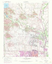
1956 Map of Fort Sill
USGS Topo · Published 1971About this map
Fort Sill Military Reserve dominates this mid-century landscape, illustrating the complex intersection of federal military operations, indigenous history, and urban growth in Comanche County. The survey highlights the significant footprint of the Fort Sill Indian School Reservation and the Mt Scott Comanche Mission near the northern boundary. To the northwest, the resort character of Medicine Park contrasts with the structured quarters of Artillery Village and the sprawling technical facilities of the Fort Sill Airfield. Urban expansion in Lawton is meticulously tracked through 1970 revisions, showing the residential spread toward the Old Mil Res Bdy. The terrain is defined by tactical landmarks such as Medicine Bluffs and numerous named ridges, including Artillery Ridge and Snow Ridge, while the St Louis-San Francisco and Chicago Rock Island and Pacific railroads provide the critical industrial backbone for the region's development.
Find a feature on this map
76 named features on this map. Tap any name to fly to it.
Don’t see what you’re looking for? This feature index may not catch every label — zoom into the map to look around manually.
Map Details
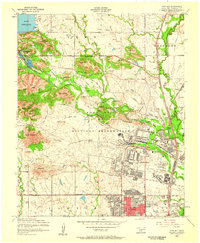
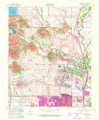
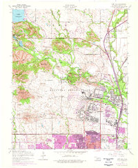
Editions of this 1956 Fort Sill Map
4 editions found
Other maps of this area

1937 · Cache
USGS Topo · 1:48,000

1942 · Cache
USGS Topo · 1:62,500

1946 · Lawton
USGS Topo · 1:62,500

1949 · Mount Scott
USGS Topo · 1:24,000

1949 · Arbuckle Hill
USGS Topo · 1:24,000

1949 · Elgin
USGS Topo · 1:24,000

1949 · Fort Sill
USGS Topo · 1:24,000

1950 · Saddle Mountain
USGS Topo · 1:62,500

1955 · Lawton
USGS Topo · 1:250,000

1956 · Ninemile Creek
USGS Topo · 1:24,000