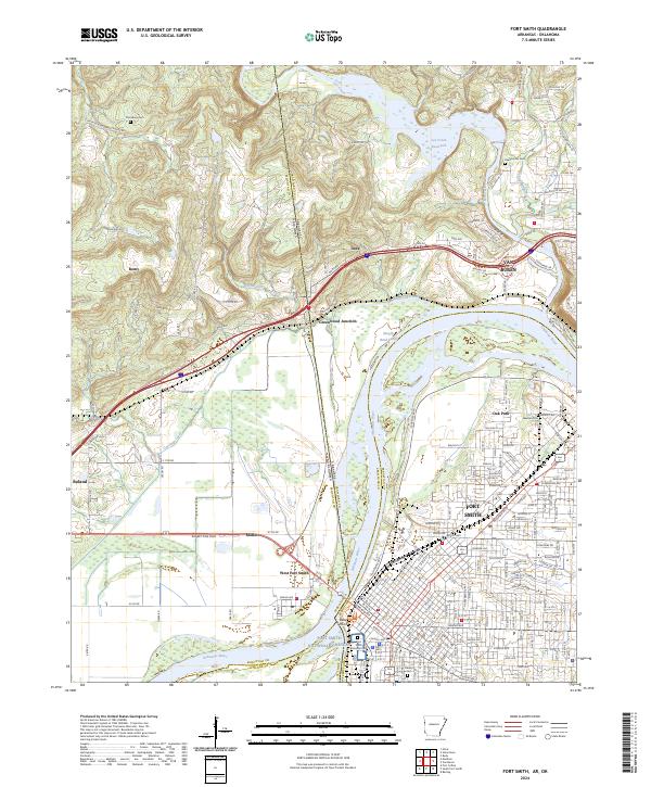
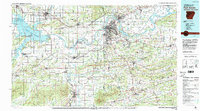
2024 Map of Fort Smith
USGS Topo · Published 2024About this map
Fort Smith and Van Buren anchor this riverfront survey, where the Arkansas River serves as the dividing line between Arkansas and Oklahoma. The map documents the strategic importance of Belle Point and the Fort Smith National Historic Site, marking the frontier legacy of the region. To the north, the Lee Creek Reservoir and the winding Lee Creek dominate the terrain before meeting the river. Genealogists will find a significant concentration of burial grounds, from the large Fort Smith National Cemetery to smaller local sites like Czarnikow Cem and Peevyhouse Cem. The landscape transitions from the urban grid of the city centers to smaller settlements like Greenwood Junction, Dora, and Moffett, reflecting the continued development of the tri-county border area where Sebastian, Crawford, and Sequoyah counties meet.
Find a feature on this map
125 named features on this map. Tap any name to fly to it.
Don’t see what you’re looking for? This feature index may not catch every label — zoom into the map to look around manually.
Map Details
Editions of this 2024 Fort Smith Map
This is the sole edition of this map. No revisions or reprints were ever made.
Historical Maps of Oak Park Through Time
14 maps found

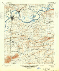
1879 Fort Smith
Sebastian County, AR
1890 Fort Smith
Sebastian County, AR

1943 Fort Smith
Sebastian County, AR

1946 Fort Smith
Sebastian County, AR
1947 Fort Smith
Sebastian County, AR
1951 Fort Smith
Sebastian County, AR

1965 Fort Smith
Sebastian County, AR

1967 Fort Smith
Sebastian County, AR

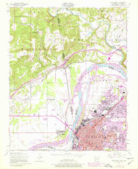
1976 Fort Smith
Sebastian County, AR
1978 Fort Smith
Sebastian County, AR
1978 Fort Smith
Sebastian County, AR
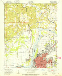
1987 Fort Smith
Sebastian County, AR
1997 Fort Smith
Sebastian County, AR
2024 Fort Smith
Sebastian County, AR