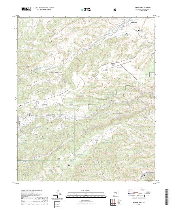
2023 Map of Fort Stanton
USGS Topo · Published 2023About this map
Fort Stanton remains the focal point of this terrain, anchored by a cluster of commemorative sites including the Fort Stanton Veterans Cem and the Fort Stanton Merchant Marine and Military Cem. The landscape is a transition between the open Ft Stanton Mesa and the forested slopes of the Lincoln National Forest, where water management is evident through numerous livestock tanks like Harlan Tank and West Silver Tank.
Find a feature on this map
95 named features on this map. Tap any name to fly to it.
Don’t see what you’re looking for? This feature index may not catch every label — zoom into the map to look around manually.
Map Details
Editions of this 2023 Fort Stanton Map
This is the sole edition of this map. No revisions or reprints were ever made.
Other maps of this area

1934 · Capitan
USGS Topo · 1:48,000

1935 · Capitan Mountains
USGS Topo · 1:48,000

1937 · Capitan
USGS Topo · 1:62,500

1940 · Capitan Mountains
USGS Topo · 1:62,500

1955 · Roswell
USGS Topo · 1:250,000

1958 · Roswell
USGS Topo · 1:250,000

1961 · Lincoln
USGS Topo · 1:62,500

1962 · Roswell
USGS Topo · 1:250,000

1963 · Fort Stanton
USGS Topo · 1:24,000

1963 · Ruidoso Downs
USGS Topo · 1:24,000