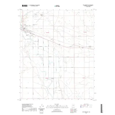
2020 Map of Fort Sumner East
USGS Topo · Published 2020About this map
The Pecos River carves a fertile corridor through De Baca County, anchoring the agricultural and historical landscape of this region. The Fort Sumner Main Canal serves as the backbone for local irrigation, supporting the Fort Sumner Valley as it transitions from the town center into the surrounding plains. This area is deeply tied to New Mexico's frontier past, with the Old Fort Sumner Cem and the route of Billy The Kid Dr marking significant historical sites.
Find a feature on this map
68 named features on this map. Tap any name to fly to it.
Don’t see what you’re looking for? This feature index may not catch every label — zoom into the map to look around manually.
Map Details
Editions of this 2020 Fort Sumner East Map
This is the sole edition of this map. No revisions or reprints were ever made.
Other maps of this area

1954 · Fort Sumner
USGS Topo · 1:250,000

1958 · Fort Sumner
USGS Topo · 1:250,000

1965 · Fort Sumner West
USGS Topo · 1:24,000

1965 · Windmill Draw
USGS Topo · 1:24,000

1966 · Alamo Ranch
USGS Topo · 1:24,000

1968 · Lomas Gatos
USGS Topo · 1:24,000

1968 · Fort Sumner East
USGS Topo · 1:24,000

1968 · Candy Mesa
USGS Topo · 1:24,000

1968 · Taiban
USGS Topo · 1:24,000

1968 · Bonner Lake
USGS Topo · 1:24,000