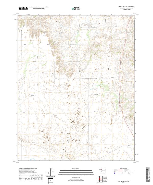
2022 Map of Fort Supply NW
USGS Topo · Published 2022About this map
Beaver River and its tributary Sand Cr define the western Oklahoma landscape of this Harper County quadrangle. The terrain is characterized by a series of draws and ridges that feed into the river valley, with a grid of rural sections that speak to the agricultural history of the region. The map provides a detailed view of the section lines and local transit routes, such as E0190 Rd and N1850 Rd, which have long served as the primary arteries for local ranching and farming families. As part of the High Plains, this area demonstrates the transition of the land into the drainage basin of the Beaver, where the topography becomes more varied compared to the flatter plains above. The detailed contouring reveals the subtle elevation changes that directed early settlement and grazing patterns within t26n r24w and the surrounding townships.
Find a feature on this map
25 named features on this map. Tap any name to fly to it.
Don’t see what you’re looking for? This feature index may not catch every label — zoom into the map to look around manually.
Map Details
Editions of this 2022 Fort Supply NW Map
This is the sole edition of this map. No revisions or reprints were ever made.
Other maps of this area

1955 · Woodward
USGS Topo · 1:250,000

1958 · Woodward
USGS Topo · 1:250,000

1970 · Buffalo SE
USGS Topo · 1:24,000

1970 · Buffalo
USGS Topo · 1:24,000

1971 · Rosston SE
USGS Topo · 1:24,000

1971 · May East
USGS Topo · 1:24,000

1971 · Fort Supply
USGS Topo · 1:24,000

1971 · Fort Supply NW
USGS Topo · 1:24,000

1971 · Fort Supply NE
USGS Topo · 1:24,000

1971 · Laverne NE
USGS Topo · 1:24,000