
1971 Map of Laverne NE
USGS Topo · Published 1973About this map
The Beaver River cuts a prominent path through this section of Harper County, where the plains of Northwest Oklahoma meet a landscape shaped by industrial resource extraction. Surveys from the early 1970s reveal an intensive network of gas and oil wells, highlighting the importance of energy production to the local economy. Transport and logistical infrastructure are centered around the Missouri-Kansas-Texas railroad, which parallels the river and serves as a corridor through the named districts of Laverne, Doby, and Speermoore. Drainage from Spring Creek, Clear Creek, and Buffalo Creek defines the local topography, while localized operations like Sandpit and various Gravel Pits indicate active surface mining. This document captures the intersection of traditional land divisions and the modernizing influence of the mid-century petroleum boom.
Find a feature on this map
14 named features on this map. Tap any name to fly to it.
Don’t see what you’re looking for? This feature index may not catch every label — zoom into the map to look around manually.
Map Details
Editions of this 1971 Laverne NE Map
This is the sole edition of this map. No revisions or reprints were ever made.
Other maps of this area

1955 · Woodward
USGS Topo · 1:250,000

1958 · Woodward
USGS Topo · 1:250,000

1970 · Laverne SW
USGS Topo · 1:24,000

1970 · Buffalo
USGS Topo · 1:24,000

1971 · Rosston SE
USGS Topo · 1:24,000

1971 · May East
USGS Topo · 1:24,000

1971 · Rosston
USGS Topo · 1:24,000

1971 · Fort Supply NW
USGS Topo · 1:24,000
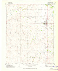
1971 · Laverne
USGS Topo · 1:24,000
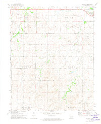
1971 · May West
USGS Topo · 1:24,000