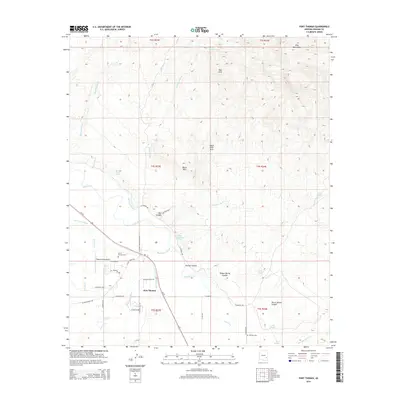
2014 Map of Fort Thomas
USGS Topo · Published 2014About this map
The settlement of Fort Thomas serves as the focal point for this 2014 survey of the Gila River valley. Historically situated near the Gila River, the community’s connection to the land is visible through an extensive irrigation network including the Colvin-Jones Canal and Fort Thomas Canal. To the north, the terrain transitions into the high elevations of the Gila Mountains and the geologic formations of the Black Hills Arch. Local history is deeply etched into the landscape via sites like the Old Ft Thomas Cem and the McEuen Cem, while more modern infrastructure like the Regeneration Airport reflects contemporary land use. Numerous water sources such as Teague Spring and Charley Thompson Springs underscore the importance of hydrology in this arid region, where drainages like Day Mine Wash and Clay Mine Wash define the complex topography surrounding George Canyon.
Find a feature on this map
50 named features on this map. Tap any name to fly to it.
Don’t see what you’re looking for? This feature index may not catch every label — zoom into the map to look around manually.
Map Details
Editions of this 2014 Fort Thomas Map
This is the sole edition of this map. No revisions or reprints were ever made.
Other maps of this area

1944 · Jackson Mtn.
USGS Topo · 1:62,500

1946 · Jackson Mtn.
USGS Topo · 1:62,500

1954 · Silver City
USGS Topo · 1:250,000

1954 · Clifton
USGS Topo · 1:250,000

1954 · Mesa
USGS Topo · 1:250,000

1956 · Tucson
USGS Topo · 1:250,000

1957 · Mesa
USGS Topo · 1:250,000

1957 · Clifton
USGS Topo · 1:250,000

1958 · Silver City
USGS Topo · 1:250,000

1958 · Clifton
USGS Topo · 1:250,000