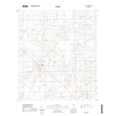
2018 Map of Fort White
USGS Topo · Published 2018About this map
The town of Fort White serves as the central hub for this 2018 survey of southern Columbia County, characterized by a transition from established agricultural lands to modern residential subdivisions. The map records a dense network of family-named roads and rural lanes, such as Drew Feagle Rd and SW Marion Mann Ter, which intersect with older landmarks like the Sedgefield Farm. For genealogists and local historians, the sheet is particularly valuable for its documentation of burial sites, including Elim Cem, Shiloh Cem, and the Tustenuggee Cem. The presence of small aviation facilities like Bradley Airport and the Lazy S Farm Airport reflects the continuing importance of private air travel in this part of Florida. This contemporary topographic record provides a clear look at how historical property boundaries, marked by the public land survey system, continue to influence the modern landscape of the region.
Find a feature on this map
143 named features on this map. Tap any name to fly to it.
Don’t see what you’re looking for? This feature index may not catch every label — zoom into the map to look around manually.
Map Details
Editions of this 2018 Fort White Map
This is the sole edition of this map. No revisions or reprints were ever made.
Other maps of this area

1954 · Gainesville
USGS Topo · 1:250,000

1954 · Valdosta
USGS Topo · 1:250,000

1958 · Valdosta
USGS Topo · 1:250,000

1958 · Gainesville
USGS Topo · 1:250,000

1959 · Valdosta
USGS Topo · 1:250,000

1959 · Gainesville
USGS Topo · 1:250,000

1962 · High Springs
USGS Topo · 1:24,000

1962 · Mikesville
USGS Topo · 1:24,000

1963 · Ellisville
USGS Topo · 1:24,000

1963 · Columbia
USGS Topo · 1:24,000