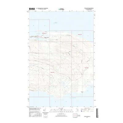
2017 Map of Fort Wilkins
USGS Topo · Published 2017About this map
Copper Harbor serves as the focal point for this survey of the northernmost reaches of Michigan's Keweenaw Peninsula. The settlement is situated between its namesake harbor and Lake Fanny Hooe, a landscape shaped by historical mining and maritime activity. The rugged coastal topography is marked by significant elevations like E Bluff and numerous inland water bodies including Mud Lake and Lily Lake.
Find a feature on this map
43 named features on this map. Tap any name to fly to it.
Don’t see what you’re looking for? This feature index may not catch every label — zoom into the map to look around manually.
Map Details
Editions of this 2017 Fort Wilkins Map
This is the sole edition of this map. No revisions or reprints were ever made.
Other maps of this area

1927 · Point Isabelle
USGS Topo · 1:31,680
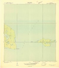
1940 · Manitou Island
USGS Topo · 1:31,680

1940 · Fort Wilkins
USGS Topo · 1:31,680

1940 · Lake Medora
USGS Topo · 1:31,680
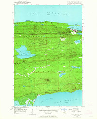
1948 · Lake Medora
USGS Topo · 1:24,000

1948 · Fort Wilkins
USGS Topo · 1:24,000
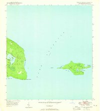
1948 · Manitou Island
USGS Topo · 1:24,000
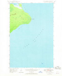
1948 · Point Isabelle
USGS Topo · 1:24,000
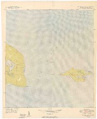
1949 · Manitou Island
USGS Topo · 1:24,000
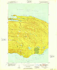
1949 · Fort Wilkins
USGS Topo · 1:24,000