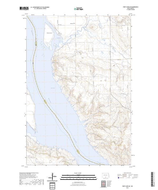
2024 Map of Fort Yates SE
USGS Topo · Published 2024About this map
The Missouri River defines the western edge of this landscape, carving through the boundary between Sioux and Emmons Counties. This 2024 survey documents the expansive waters of Lake Oahe, where the river’s original course has widened into significant features like Cattail Bay. To the north, Winona Island and the adjacent Winona Flats mark a shift in the riverine environment, where the floodplains meet the higher North Dakota prairie.
Find a feature on this map
18 named features on this map. Tap any name to fly to it.
Don’t see what you’re looking for? This feature index may not catch every label — zoom into the map to look around manually.
Map Details
Editions of this 2024 Fort Yates SE Map
This is the sole edition of this map. No revisions or reprints were ever made.
Other maps of this area

1953 · McIntosh
USGS Topo · 1:250,000

1954 · Bismarck
USGS Topo · 1:250,000

1958 · Bismarck
USGS Topo · 1:250,000

1958 · McIntosh
USGS Topo · 1:250,000

1966 · Mahto NE
USGS Topo · 1:24,000

1966 · Mahto NW
USGS Topo · 1:24,000

1966 · Pollock NW
USGS Topo · 1:24,000

1968 · Fort Yates NW
USGS Topo · 1:24,000

1968 · Fort Yates SE
USGS Topo · 1:24,000

1968 · Fort Yates
USGS Topo · 1:24,000